The National Geologic Map Database is migrating to a new infrastructure. We apologize for any service disruptions during this process.
|
|---|


- Usage in publication:
-
- Solomon schist*
- Modifications:
-
- Original reference
- Dominant lithology:
-
- Schist
- Limestone
- AAPG geologic province:
-
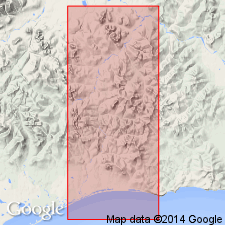
- Seward Peninsula province
- Alaska West-Central region
Summary:
Pg. 50-53, etc., geol. maps. Solomon schist. Highly metamorphosed quartzose and calcareous schists, with some interbedded limestones and numerous quartz veins. Included in Nome group. Of pre-Ordovician(?) age. Oldest formation in Solomon and Casadepaga quadrangles. Underlies Sowik limestone of Nome group, probably unconformably. Exposed along Solomon River, Seward Peninsula, central western Alaska.
Source: Publication; US geologic names lexicon (USGS Bull. 896, p. 2025); GNU records (USGS DDS-6; Menlo GNULEX).
For more information, please contact Nancy Stamm, Geologic Names Committee Secretary.
Asterisk (*) indicates published by U.S. Geological Survey authors.
"No current usage" (†) implies that a name has been abandoned or has fallen into disuse. Former usage and, if known, replacement name given in parentheses ( ).
Slash (/) indicates name conflicts with nomenclatural guidelines (CSN, 1933; ACSN, 1961, 1970; NACSN, 1983, 2005, 2021). May be explained within brackets ([ ]).