- Usage in publication:
-
- Soldier Meadow Tuff*
- Modifications:
-
- Named
- Geochronologic dating
- Reference
- Dominant lithology:
-
- Tuff
- AAPG geologic province:
-
- Great Basin province
Summary:
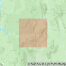
Named for exposures west of Soldier Meadow. Type section: northern part of Calico Mountains, 5 mi west-southwest of Soldier Meadow Ranch, 40 deg 22' 30"N, 119 deg 15' 40"W, Humboldt Co, NV. Reference section: 41 deg 34' 30"N, 119 deg 11' 30"W. Extends from 41 deg 12'N (Calico Mountains) south 40 mi to Big Mountains and west and northeast to Badger Mountains. Crops out in central Black Rock Range. At type is 390 ft thick, present over 500 sq mi in northeastern Washoe Co. Has vertical and horizontal jointing. Consists of multiple ash flows with cooling breaks and lithologic changes. Is bluish-gray, tan, green or brown; weathers to deep brown. Phenocrysts (smokey quartz and sanidine) up 20 to 25%; peralkaline, granophyrically crystallized. Origin at type (series of north-south trending vents). Overlain by nonwelded tuffs. K-Ar ages of 14.7 +/-0.5 and 15.6 +/-1.7 Ma.
Source: GNU records (USGS DDS-6; Menlo GNULEX).

- Usage in publication:
-
- Soldier Meadow Tuff*
- Modifications:
-
- Age modified
- Areal extent
- AAPG geologic province:
-
- Great Basin province
Summary:
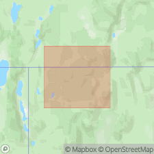
Mapped along southern border of Charles Sheldon Wilderness Study Area in Humboldt and Washoe Cos, NV. Thickness 98 to 196 ft. Is mostly light to very light brownish gray, some what porous, and abundantly porphyritic. Contains pumice lumps in various stages of collapse. Part of middle sequence of rhyolites and welded tuffs with intercalated sediments. Age is middle Miocene based on K-Ar ages of 14.7 +/-0.5 Ma (Noble and others, 1970) [and DNAG and Berggren and others (1985) time scales].
Source: GNU records (USGS DDS-6; Menlo GNULEX).

- Usage in publication:
-
- Soldier Meadow Tuff*
- Modifications:
-
- Areal extent
- AAPG geologic province:
-
- Great Basin province
Summary:
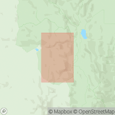
Mapped in southeastern corner of High Rock Lake and northeastern corner of McConnel Canyon 7.5' quads, Washoe and Humboldt Cos, NV. Is bluish gray, partly to densely welded ash-flow sheet composed of many individual flows. Phenocrysts consist of smoky quartz and sodic sanidine with minor arfvedsonite and iron-rich clinopyroxene. Sanidine is locally chatoyant. Overlies Summit Lake Tuff in this area.
Source: GNU records (USGS DDS-6; Menlo GNULEX).

- Usage in publication:
-
- Soldier Meadow Tuff*
- Modifications:
-
- Areal extent
- AAPG geologic province:
-
- Great Basin province
Summary:
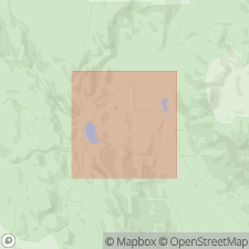
Is principal rock exposed in High Rock Lake Wilderness Study Area, Humboldt Co, NV. Is densely welded comenditic (peralkine rhyolite) ash-flow tuff. Overlies basalt and rhyolitic ash-flow and air-fall tuffs of the tuff of Trough Mountain and Summit Lake Tuff. Bedded and reworked tuffs which contain vertebrate fossils overlie unit north of High Rock Lake in Fly Canyon. All volcanic rocks in study area are middle Miocene based on K-Ar ages of 15 to 16 Ma.
Source: GNU records (USGS DDS-6; Menlo GNULEX).
For more information, please contact Nancy Stamm, Geologic Names Committee Secretary.
Asterisk (*) indicates published by U.S. Geological Survey authors.
"No current usage" (†) implies that a name has been abandoned or has fallen into disuse. Former usage and, if known, replacement name given in parentheses ( ).
Slash (/) indicates name conflicts with nomenclatural guidelines (CSN, 1933; ACSN, 1961, 1970; NACSN, 1983, 2005, 2021). May be explained within brackets ([ ]).

