The National Geologic Map Database is migrating to a new infrastructure. We apologize for any service disruptions during this process.
|
|---|


- Usage in publication:
-
- Snyder limestone member
- Modifications:
-
- Named
- Dominant lithology:
-
- Limestone
- AAPG geologic province:
-
- Appalachian basin
Summary:
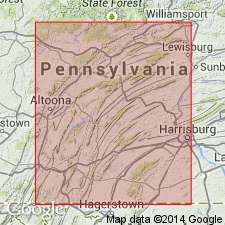
Named for Snyder township, Blair Co., PA. Lower member of Brenner limestone. Contains white-weathering dense limestone and detrital limestone. Thickness is 40-200 feet in central PA. Overlies Hatter formation; underlies Stover member of Brenner limestone. Publication includes stratigraphic column.
Source: GNU records (USGS DDS-6; Reston GNULEX).
- Usage in publication:
-
- Snyder Formation, Limestone
- Modifications:
-
- Revised
- AAPG geologic province:
-
- Appalachian basin
Summary:
Raised rank of Snyder to formation because it is regionally distinct from overlying Linden Hall. Consists of light colored detrital limestone with limestone pebble conglomerate, white-weathering, dense and relatively pure. Thickness 190 feet. Overlies Hatter Limestone; underlies Linden Hall Limestone.
Source: GNU records (USGS DDS-6; Reston GNULEX).
- Usage in publication:
-
- Snyder Formation
- Modifications:
-
- Overview
- AAPG geologic province:
-
- Appalachian basin
Summary:
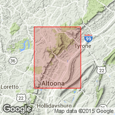
Snyder Formation extends throughout central, north-central, and western PA and into WV. Consists of an assemblage of conglomeratic to fine-grained limestones containing oolites and abundant fossil fragments. Most distinctive limestone is a conglomeratic calcarenite. Beds 21 m above the base of the Snyder are rich in bryozoans and gastropods. Conformably overlies the Hatter Formation. Contact is placed at the base of the oolite sequence underlying the conglomerates. Upper contact with the Stover Member of the Linden Hall Formation is placed at the top of the conglomeratic beds. Best exposure is on east side of Rte 453, 25 m north of highway paddle marker 11-80 (adjacent to culvert drain) west of Pemberton, 7 km east of the northeast corner of the Bellwood quad. Thickness measured along this road cut is 55+/-2 m. No basis given for Late Ordovician age.
Source: GNU records (USGS DDS-6; Reston GNULEX).
For more information, please contact Nancy Stamm, Geologic Names Committee Secretary.
Asterisk (*) indicates published by U.S. Geological Survey authors.
"No current usage" (†) implies that a name has been abandoned or has fallen into disuse. Former usage and, if known, replacement name given in parentheses ( ).
Slash (/) indicates name conflicts with nomenclatural guidelines (CSN, 1933; ACSN, 1961, 1970; NACSN, 1983, 2005, 2021). May be explained within brackets ([ ]).