

- Usage in publication:
-
- Sly Gap formation
- Modifications:
-
- Overview
- Contact revised
- AAPG geologic province:
-
- Orogrande basin
Stevenson, F.V., 1945, Devonian of New Mexico: Journal of Geology, v. 53, no. 4, p. 217-245.
Summary:
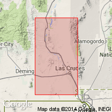
Detailed discussion of Upper Devonian Sly Gap at its type section, sec 25, T11S, R5E, Sierra Co, in San Andres Mountains, NM in Orogrande basin where formation disconformably overlies Upper Ordovician Montoya limestone and disconformably underlies Mississippian Lake Valley limestone. Also recognized in Sacramento Mountains. Is 114+ ft thick and consists of brown, yellow to gray limestone, yellow, brown, gray siltstone, and brown, green-gray shale at type. Some argillaceous limestone beds at top. Some of siltstone is crinoidal. Some of shale beds have limestone nodules. Many beds fossiliferous (crinoids, brachiopods, corals) at type. Type compared to secs in Sacramento Mountains to east, and to secs in Caballos, and Mud Springs Mountains to west. Pinches out before reaching Hillsboro area still farther west in Basin-and-Range province. Cross secs; stratigraphic chart; columnar secs. Rio Grande is east boundary; Sacramento Mountains form west boundary. Usually overlies Devonian Onate formation in Sacramento and San Andres Canyon areas. Upper contact revised--Sly Gap overlies Ready Pay member (new) of Percha shale in Sacramento Mountains and San Andres Canyon areas. In Caballos and Mud Spring Mountains, where Ready Pay, Caballero formation and Lake Valley have pinched out, Sly Gap is overlain by Pennsylvanian rocks. Fossils listed for Sly Gap include: brachiopods, crinoids, bryozoans, anthozoans, cephalopods, gastropods, fish.
Source: GNU records (USGS DDS-6; Denver GNULEX).
- Usage in publication:
-
- Sly Gap Formation*
- Modifications:
-
- Revised
- Overview
- AAPG geologic province:
-
- Orogrande basin
Summary:
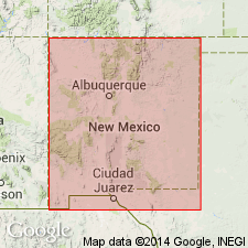
Type section is on south slope of Sheep Mountain, San Andres Mountains, Sierra Co., NM. Present in the northern Sacramento Mountains, Otero Co., in the San Andres Mountains, Sierra and Dona Ana Cos., in the Mud Springs Mountains, Sierra Co., all in the Orogrande basin. Stevinson's (1945?) Sly Gap is modified in that his unit C, or basal Sly Gap belongs to the underlying Onate Formation, his units I and J belong to the overlying Contadero Formation, and his units K and L are Thoroughgood Formation which overlies the Contadero. As thus revised, Sly Gap varies between 30 and 65 ft thick; the variability due to Late Devonian erosion. Locally the Mississippian Caballero Formation overlies Sly Gap. Is dominantly a dark gray shale. Some layers of black shale have been interpreted as being tongues of Percha Shale. Phosphatic lag deposits at base. Nodular limestone. Phosphate lag, black shale, clastic rocks provide evidence of hiatus. The Onate-Sly Gap contact is regionally disconformable. Fossils (listed) brachiopods, corals; 38 genera and 66 species of brachiopods present. Age refined from Late Devonian to early Late Devonian, Cohoctonian or Frasnian Stage. Considered a marine open shelf deposit. Cross sections. Correlation charts.
Source: GNU records (USGS DDS-6; Denver GNULEX).
For more information, please contact Nancy Stamm, Geologic Names Committee Secretary.
Asterisk (*) indicates published by U.S. Geological Survey authors.
"No current usage" (†) implies that a name has been abandoned or has fallen into disuse. Former usage and, if known, replacement name given in parentheses ( ).
Slash (/) indicates name conflicts with nomenclatural guidelines (CSN, 1933; ACSN, 1961, 1970; NACSN, 1983, 2005, 2021). May be explained within brackets ([ ]).