The National Geologic Map Database is migrating to a new infrastructure. We apologize for any service disruptions during this process.
|
|---|


- Usage in publication:
-
- Slippery Creek greenstone volcanics
- Modifications:
-
- Named
- Dominant lithology:
-
- Greenstone
- Lava
- Schist
- AAPG geologic province:
-
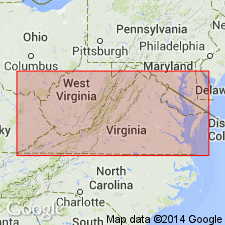
- Piedmont-Blue Ridge province
Summary:
Slippery Creek greenstone volcanics described as dark-green to gray schistose to gneissose lava flows (dacite-andesite?). Amygdaloidal in part. Tuffaceous(?) schist at base. Thickness 1,000 to 3,000 ft. Uppermost unit in Evington group (new). Overlies Mount Athos formation. Age is Paleozoic(?). [Unit was first used in an abstract by this author in Virginia Jour. Science, 1951, new ser., v. 2, no. 4, p. 347.]
Source: GNU records (USGS DDS-6; Reston GNULEX).
- Usage in publication:
-
- Slippery Creek greenstone
- Modifications:
-
- Revised
- AAPG geologic province:
-
- Piedmont-Blue Ridge province
Summary:
Used on State map as Slippery Creek greenstone of Evington group. Age given as Precambrian and Paleozoic.
Source: GNU records (USGS DDS-6; Reston GNULEX).
- Usage in publication:
-
- Slippery Creek Greenstone*
- Modifications:
-
- Overview
- AAPG geologic province:
-
- Piedmont-Blue Ridge province
Summary:
Slippery Creek Greenstone Volcanics of Brown (1953) used in this report as Slippery Creek Greenstone and assigned to Evington Group as its uppermost unit. Age given as early Paleozoic(?).
Source: GNU records (USGS DDS-6; Reston GNULEX).
- Usage in publication:
-
- Slippery Creek
- Modifications:
-
- Not used
- AAPG geologic province:
-
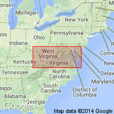
- Piedmont-Blue Ridge province
Summary:
Slippery Creek Greenstone now mapped as Catoctin Formation(?) in the Blue Ridge anticlinorium of south-central VA.
Source: GNU records (USGS DDS-6; Reston GNULEX).

- Usage in publication:
-
- Slippery Creek
- Modifications:
-
- Not used
- AAPG geologic province:
-
- Piedmont-Blue Ridge province
Summary:
Rocks previously mapped as Slippery Creek Greenstone by Brown (1958) or as Catoctin Formation by Conley (1985), here mapped as actinolite schist unit of Alligator Back Formation of Lynchburg Group.
Source: GNU records (USGS DDS-6; Reston GNULEX).
For more information, please contact Nancy Stamm, Geologic Names Committee Secretary.
Asterisk (*) indicates published by U.S. Geological Survey authors.
"No current usage" (†) implies that a name has been abandoned or has fallen into disuse. Former usage and, if known, replacement name given in parentheses ( ).
Slash (/) indicates name conflicts with nomenclatural guidelines (CSN, 1933; ACSN, 1961, 1970; NACSN, 1983, 2005, 2021). May be explained within brackets ([ ]).