The National Geologic Map Database is migrating to a new infrastructure. We apologize for any service disruptions during this process.
|
|---|


- Usage in publication:
-
- Slide Creek member*
- Modifications:
-
- Named
- Dominant lithology:
-
- Basalt
- AAPG geologic province:
-
- Blue Mountains province
- Columbia basin
Summary:
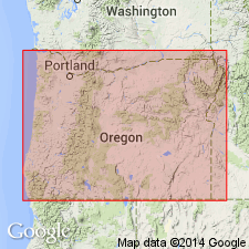
Unit is named for flows in the lower part of Strawberry volcanics (new). Name derived from the valley of Slide Creek 3 mi east of Strawberry Mountain, Grant Co., OR. Described as Columbia River type flow and believed to be [lithologic] equivalent of Columbia River basalt at Picture Gorge. Age is middle Miocene.
Source: GNU records (USGS DDS-6; Menlo GNULEX).
For more information, please contact Nancy Stamm, Geologic Names Committee Secretary.
Asterisk (*) indicates published by U.S. Geological Survey authors.
"No current usage" (†) implies that a name has been abandoned or has fallen into disuse. Former usage and, if known, replacement name given in parentheses ( ).
Slash (/) indicates name conflicts with nomenclatural guidelines (CSN, 1933; ACSN, 1961, 1970; NACSN, 1983, 2005, 2021). May be explained within brackets ([ ]).