

- Usage in publication:
-
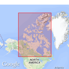
- Slater River formation
- Modifications:
-
- First used
- Dominant lithology:
-
- Shale
- Bentonite
- Sandstone
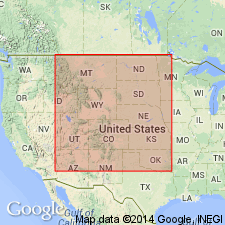
- AAPG geologic province:
-
- Mackenzie trough
Summary:
First used as formation in vicinity of Mackenzie River Valley, Mackenzie trough, Northwest Territories, CN. Derivation of name not given [probably named for exposures noted to occur along Slater River]. Type not designated; part sections may be seen on Mackenzie River, below mouth of Little Bear River, and on Mountain River. Overlies Sans Sault group (new, Lower Cretaceous); underlies Little Bear formation (new, Upper Cretaceous). Is composed of thin-bedded, black, friable shales, with numerous ironstone concretions or concretionary layers; also has thin, soft, white and yellow seams of alum and sulphur and occasional beds of sandstone. Most distinguishing feature is presence of many thin bands of bentonite 1/8 to 1 in thick. Fish-scale horizon noted, and fossils collected are thought to indicate Late Cretaceous age. Thickness of 1,000 ft assigned on basis of projected dips and structural evidence.
Source: GNU records (USGS DDS-6; Denver GNULEX).
- Usage in publication:
-
- Slater River Shale
- Modifications:
-
- Biostratigraphic dating
- AAPG geologic province:
-
- Mackenzie trough
Summary:
Biostratigraphic dating on basis of ammonites WATINOCERAS REESIDEI and SCAPHITES DELICATULUS collected by C. R. Stelck in the District of Mackenzie, CN, Mackenzie trough, and loaned to W. A. Cobban. Fauna places it in early Turonian (Late Cretaceous). W. REESIDEI also noted to have been recorded from many localities in western Alberta and northwestern British Columbia, especially from the Vimy Member of the Blackstone Formation and equivalent rocks. [On basis of ammonites, Slater River Shale is correlative (in part) with Bridge Creek Member of Greenhorn Limestone in CO, KS, and NM; Cone Member of Marias River Shale in MT; and Greenhorn Member of Cody Shale in MT.]
Source: GNU records (USGS DDS-6; Denver GNULEX).
For more information, please contact Nancy Stamm, Geologic Names Committee Secretary.
Asterisk (*) indicates published by U.S. Geological Survey authors.
"No current usage" (†) implies that a name has been abandoned or has fallen into disuse. Former usage and, if known, replacement name given in parentheses ( ).
Slash (/) indicates name conflicts with nomenclatural guidelines (CSN, 1933; ACSN, 1961, 1970; NACSN, 1983, 2005, 2021). May be explained within brackets ([ ]).