

- Usage in publication:
-
- Skajit formation*
- Modifications:
-
- Named
- Dominant lithology:
-
- Limestone
- Schist
- AAPG geologic province:
-
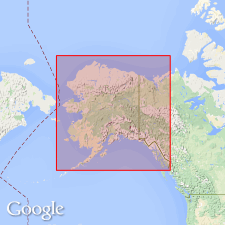
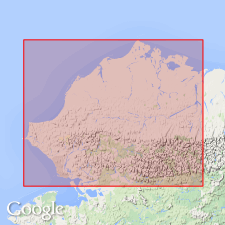
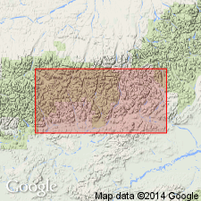
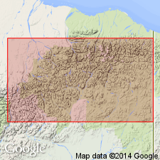
- Alaska Northern region
Summary:
[Named] for Skajit Mountains, Endicott Range where it extends in north and south direction for 15 or 20 mi and occurs as high as 5500 ft elevation. Consists of heavy-bedded limestone and mica schist. Limestone is highly altered, finely crystalline, schistose, and often micaceous some layers becoming more and more foliated grade into mica schist. Is about 4000 ft thick. Seems to unconformably underlie Totsen series [now known to overlie abandoned Totsen series which is same as Birch Creek schist also abandoned]. Tentatively assigned Silurian age on basis of imperfect fossil evidence.
Source: GNU records (USGS DDS-6; Menlo GNULEX).
- Usage in publication:
-
- Skajit limestone*
- Modifications:
-
- Redescribed
- Areal extent
- Dominant lithology:
-
- Limestone
- Dolomite
- AAPG geologic province:
-
- Alaska Northern region
Summary:
Skajit formation of Schrader (1902) is redescribed as Skajit limestone in order to emphasize dominantly calcareous nature of unit. Geographically extended to include limestone of Chandalar district, originally called "Bettles series" by Schrader (1902). [Bettles hereby abandoned.] Skajit described on geologic reconnaissance map of northwestern AK as predominantly metamorphosed limestone and dolomite. Structure and thickness are discussed. Age given as Silurian.
Source: GNU records (USGS DDS-6; Menlo GNULEX).
- Usage in publication:
-
- Skajit limestone*
- Modifications:
-
- Age modified
- AAPG geologic province:
-
- Alaska Northern region
Summary:
Age is Middle(?) Devonian on basis of fossils in limestone locally interbedded in type area on John River and also fossils of Middle or Late Devonian age collected in western Brooks Range area mapped as Skajit limestone by Smith and Mertie (1930).
Source: GNU records (USGS DDS-6; Menlo GNULEX).
- Usage in publication:
-
- Skajit Limestone*
- Modifications:
-
- Areal extent
- Age modified
- Biostratigraphic dating
- AAPG geologic province:
-
- Alaska Northern region
Summary:
Geographically extended into eastern Brooks Range area. Age is Middle(?) and Late Devonian on basis of fossils collected in Chandalar area and west of Arctic Village. Names and localities of fossils included in report.
Source: GNU records (USGS DDS-6; Menlo GNULEX).

- Usage in publication:
-
- Skajit Limestone*
- Modifications:
-
- Revised
- AAPG geologic province:
-
- Alaska Northern region
Summary:
Included in Baird Group (new). In Baird Mountains, Skajit Limestone underlies Eli Limestone (new) of Baird Group. Interfingers with Kugururok Formation of Baird Group. Skajit Limestone seems to be faulted on Noatak Sandstone and Kayak Shale of Endicott Group (new) and Lisburne Group.
Source: GNU records (USGS DDS-6; Menlo GNULEX).

- Usage in publication:
-
- Skajit Limestone*
- Modifications:
-
- Age modified
- AAPG geologic province:
-
- Alaska Northern region
Summary:
Correlation chart shows age of Skajit Limestone of Baird Group is Silurian to Late Devonian based on ages of brachiopods and corals contained in unit in western Brooks Range. Age of Skajit in central and eastern Brooks Range is Early(?), Middle(?), and Late Devonian based on corals.
Source: GNU records (USGS DDS-6; Menlo GNULEX).
For more information, please contact Nancy Stamm, Geologic Names Committee Secretary.
Asterisk (*) indicates published by U.S. Geological Survey authors.
"No current usage" (†) implies that a name has been abandoned or has fallen into disuse. Former usage and, if known, replacement name given in parentheses ( ).
Slash (/) indicates name conflicts with nomenclatural guidelines (CSN, 1933; ACSN, 1961, 1970; NACSN, 1983, 2005, 2021). May be explained within brackets ([ ]).