- Usage in publication:
-
- Skagit gneiss
- Modifications:
-
- Named
- Dominant lithology:
-
- Gneiss
- AAPG geologic province:
-
- Cascades province
Summary:
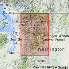
Extends from first summit west of Skagit River to summit of Custer Ridge, Whatcom Co, WA, main divide of Skagit Range. Skagit gneisses originated during time of Mesozoic folding. At least most of the gneisses are probably earlier than sedimentary rocks of Early Cretaceous age. Skagit is older than Chilliwack granodiorite (which formed from it); on eastern border of Skagit is Black Peak granodiorite (new) which apparently formed from Skagit. Marblemount quartz diorite (new) was earlier than Mesozoic folding.
Source: GNU records (USGS DDS-6; Menlo GNULEX).

- Usage in publication:
-
- Skagit Gneiss
- Modifications:
-
- Revised
- AAPG geologic province:
-
- Cascades province
Summary:
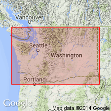
Skagit Gneiss is part of Skagit Metamorphic Suite which underlies most of metamorphic core of Northern Cascades. Suite comprises Cascade River Schist and Skagit Gneiss as shown on geologic map of Skagit region. Rocks of Skagit Gneiss formerly mapped as Custer batholith (Custer granitic gneiss) by Daly (1912). Stratigraphic age of Skagit Gneiss is not known. Age of Skagit metamorphism is not known either, beyond its being older than mid-Cretaceous orogeny and presumably older than latest Triassic-Jurassic-Early Cretaceous deposition.
Source: GNU records (USGS DDS-6; Menlo GNULEX).

- Usage in publication:
-
- Skagit Gneiss Complex*
- Modifications:
-
- Adopted
- Areal extent
- Age modified
- AAPG geologic province:
-
- Cascades province
Summary:
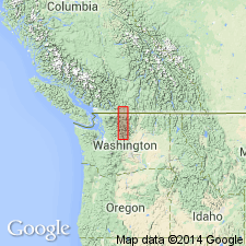
Skagit Gneiss of Misch (1952, 1966) adopted as Skagit Gneiss Complex. Type section designated as Skagit Gorge between Newhalem and Ross Dam, sec. 21 T37N R12E to sec. 35 T38N R13E, Mount Baker 30'x60' quad, northern WA. Geographically extended to include (contiguous) gneissic rocks to the southeast. Consists of metamorphic granitoid plutons and intimately related metamorphosed non-granitoid rocks --orthogneiss, banded gneiss (paragneiss and abundant sills of orthogneiss), massive pegmatite, gabbro-troctolite-norite, amphibolite, marble, calc-silicate rocks, and ultramafic rocks. Most external contacts are either intrusive contacts or faults. Age (metamorphic) is Late Cretaceous and early Tertiary.
Source: GNU records (USGS DDS-6; Menlo GNULEX).
For more information, please contact Nancy Stamm, Geologic Names Committee Secretary.
Asterisk (*) indicates published by U.S. Geological Survey authors.
"No current usage" (†) implies that a name has been abandoned or has fallen into disuse. Former usage and, if known, replacement name given in parentheses ( ).
Slash (/) indicates name conflicts with nomenclatural guidelines (CSN, 1933; ACSN, 1961, 1970; NACSN, 1983, 2005, 2021). May be explained within brackets ([ ]).

