- Usage in publication:
-
- Skagit Volcanics*
- Modifications:
-
- Adopted
- Dominant lithology:
-
- Tuff
- Breccia
- AAPG geologic province:
-
- Cascades province
Summary:
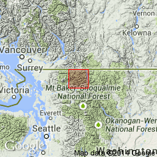
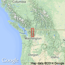
Skagit Volcanic Formation of Daly (1912) is adopted as Skagit Volcanics. Named after Skagit River, Skagit Co, WA. Extends 6.5 mi along Canadian border just west of Ross Lake. Flows, tuffs, and volcanic breccias form Glacier Peak and part of ridges on either side of Silver Creek. Thickness at Silver Creek is 4000 ft. Overlies Custer Gneiss on east side of Depot Creek and south of Glacier Peak; southwest of Silver Creek overlies Hozameen Group. Intruded by dikes of Chilliwack batholith; dike of Skagit Volcanics cuts quartz diorite of Chilliwack batholith. Thus, age of Skagit is for most part younger than Chilliwack batholith and in part older. Age is probably early(?) Tertiary. Shown on geologic map of northern part of North Cascades National Park, WA.
Source: GNU records (USGS DDS-6; Menlo GNULEX).

- Usage in publication:
-
- Skagit Volcanics†
- Modifications:
-
- Abandoned
- AAPG geologic province:
-
- Cascades province
Summary:
Unit is abandoned and its rocks are reassigned as unnamed strata.
Source: GNU records (USGS DDS-6; Menlo GNULEX).
For more information, please contact Nancy Stamm, Geologic Names Committee Secretary.
Asterisk (*) indicates published by U.S. Geological Survey authors.
"No current usage" (†) implies that a name has been abandoned or has fallen into disuse. Former usage and, if known, replacement name given in parentheses ( ).
Slash (/) indicates name conflicts with nomenclatural guidelines (CSN, 1933; ACSN, 1961, 1970; NACSN, 1983, 2005, 2021). May be explained within brackets ([ ]).

