The National Geologic Map Database is migrating to a new infrastructure. We apologize for any service disruptions during this process.
|
|---|


- Usage in publication:
-
- Sitkinak Formation*
- Modifications:
-
- Named
- Dominant lithology:
-
- Siltstone
- Sandstone
- Conglomerate
- AAPG geologic province:
-
- Alaska Southwestern region
- Kodiak province
Summary:
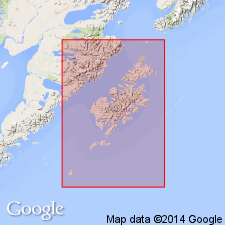
Named for Sitkinak Island, AK. Type section designated along south shore of Sitkinak Island, which is 15 km southwest of Kodiak Island. Unit crops out in isolated patches along belt about 250 km long extending from Chirikof Island at southwest to Dangerous Cape on Kodiak Island at the northeast. Bulk of formation is continental and consists of coal-bearing siltstone, sandstone, and conglomerate. Coal beds at type contain well-preserved fossil leaves. Is about 1500 m thick at type section. Gradationally overlies Sitkalidak Formation (new); conformably underlies Narrow Cape Formation (new). On Sitkinak Island unit is considered to be Oligocene age based on plant fossils identified by J.A. Wolfe (written commun., 1968). Age of unit is Oligocene.
Source: GNU records (USGS DDS-6; Menlo GNULEX).
- Usage in publication:
-
- Sitkinak Formation*
- Modifications:
-
- Overview
- AAPG geologic province:
-
- Alaska Southwestern region
- Kodiak province
Summary:
Detailed lithology, fossils, measured section, sedimentary facies, paleocurrent map of unit on Sitkalidak and Sitkinak Islands included in report.
Source: GNU records (USGS DDS-6; Menlo GNULEX).
- Usage in publication:
-
- Sitkinak Formation*
- Modifications:
-
- Areal extent
- AAPG geologic province:
-
- Alaska Southwestern region
- Kodiak province
Summary:
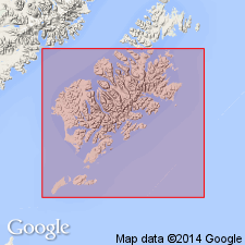
Sitkinak Formation is geographically restricted from parts of Sitkinak Island [along east shore of Sitkinak Lagoon and area south of Sitkinak Lagoon]; strata are reassigned to informally named Albatross sedimentary sequence.
Source: GNU records (USGS DDS-6; Menlo GNULEX).
For more information, please contact Nancy Stamm, Geologic Names Committee Secretary.
Asterisk (*) indicates published by U.S. Geological Survey authors.
"No current usage" (†) implies that a name has been abandoned or has fallen into disuse. Former usage and, if known, replacement name given in parentheses ( ).
Slash (/) indicates name conflicts with nomenclatural guidelines (CSN, 1933; ACSN, 1961, 1970; NACSN, 1983, 2005, 2021). May be explained within brackets ([ ]).