The National Geologic Map Database is migrating to a new infrastructure. We apologize for any service disruptions during this process.
|
|---|


- Usage in publication:
-
- Sitkalidak Formation*
- Modifications:
-
- Named
- Dominant lithology:
-
- Sandstone
- Siltstone
- Conglomerate
- AAPG geologic province:
-
- Alaska Southwestern region
- Kodiak province
Summary:
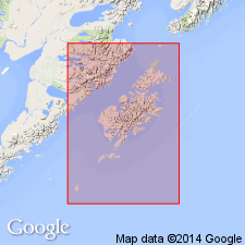
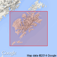
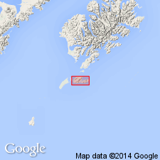
Named for Sitkalidak Island, AK. Type section designated along north coast and near east end of Sitkalidak Island from 3 to 7 km northwest of Cape Barnabas. Consists of uniform sequence of sandstone and siltstone graded beds with few conglomerate beds. Is about 3000 m thick. Overlies Ghost Rocks Formation (new) in fault contact; gradationally underlies Sitkinak Formation (new) or unconformably underlies Narrow Cape Formation (new). Fossil clam (new species of Vesicomyidae) and fossil crab (CALLIANASSA aff. C. PORTERENSIS) collected 300 m below top of unit indicate Oligocene age (F.S. MacNeil, written commun., 1963). Evidence from superposition suggest age of unit is Eocene and Oligocene.
Source: GNU records (USGS DDS-6; Menlo GNULEX).
- Usage in publication:
-
- Sitkalidak Formation*
- Modifications:
-
- Overview
- AAPG geologic province:
-
- Alaska Southwestern region
- Kodiak province
Summary:
Detailed lithology, paleocurrent data, sedimentary facies, etc., included in report. Unit consists of middle- and outer-fan turbidites that locally include some basin-plain deposits.
Source: GNU records (USGS DDS-6; Menlo GNULEX).
- Usage in publication:
-
- Sitkalidak Formation*
- Modifications:
-
- Age modified
- Biostratigraphic dating
- AAPG geologic province:
-
- Alaska Southwestern region
- Kodiak province
Summary:
Sitkalidak Formation is Eocene age based on regional stratigraphic relations and foraminifers.
Source: GNU records (USGS DDS-6; Menlo GNULEX).
For more information, please contact Nancy Stamm, Geologic Names Committee Secretary.
Asterisk (*) indicates published by U.S. Geological Survey authors.
"No current usage" (†) implies that a name has been abandoned or has fallen into disuse. Former usage and, if known, replacement name given in parentheses ( ).
Slash (/) indicates name conflicts with nomenclatural guidelines (CSN, 1933; ACSN, 1961, 1970; NACSN, 1983, 2005, 2021). May be explained within brackets ([ ]).