

- Usage in publication:
-
- Sinsinawa member
- Modifications:
-
- Areal extent
- Dominant lithology:
-
- Dolomite
- AAPG geologic province:
-
- Wisconsin arch
Summary:
Figs. 3, 12. Sinsinawa member of Wise Lake formation. Thick-bedded dolomite, pure, brown, coarsely crystalline. Thickness 13 feet. Shown on columnar section as underlying Stewartville member (new) of Wise Lake formation and overlying Wyota member (new) of Dunleith formation. Age is Middle Ordovician.
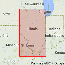
[Notable exposures in Dixon-Oregon area, northern IL.]
Source: US geologic names lexicon (USGS Bull. 1200, p. 3641).
- Usage in publication:
-
- Sinsinawa Member
- Modifications:
-
- Revised
- AAPG geologic province:
-
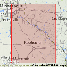
- Iowa shelf
Summary:
Sinsinawa Member of Stewartville Formation of Galena Group. In Minnesota (Iowa shelf), Sinsinawa is assigned to Stewartville Formation (revised) as its lower member; underlies Rifle Hill Member (new). Age is Late Ordovician (Edenian). Report includes correlation chart, cross sections, graphic section. [See also entry under Rifle Hill.]
Source: Modified from GNU records (USGS DDS-6; Denver GNULEX).
For more information, please contact Nancy Stamm, Geologic Names Committee Secretary.
Asterisk (*) indicates published by U.S. Geological Survey authors.
"No current usage" (†) implies that a name has been abandoned or has fallen into disuse. Former usage and, if known, replacement name given in parentheses ( ).
Slash (/) indicates name conflicts with nomenclatural guidelines (CSN, 1933; ACSN, 1961, 1970; NACSN, 1983, 2005, 2021). May be explained within brackets ([ ]).