The National Geologic Map Database is migrating to a new infrastructure. We apologize for any service disruptions during this process.
|
|---|


- Usage in publication:
-
- Simpson formation*
- Modifications:
-
- Original reference
- Dominant lithology:
-
- Sandstone
- Limestone
- Shale
- Marl
- AAPG geologic province:
-
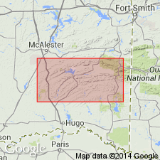
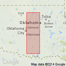
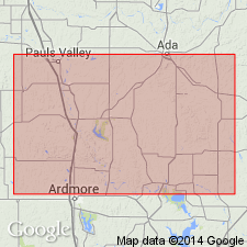
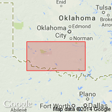
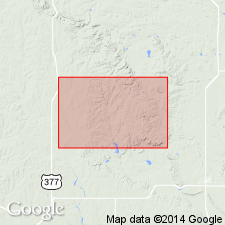
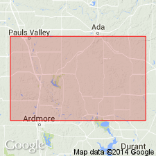
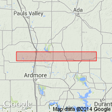
- South Oklahoma folded belt
Summary:
Simpson formation. Sandstones and fossiliferous limestone, with interbedded greenish clay shales and marls separable into several quite distinct members. Thickness 1,600 feet. In Tishomingo quadrangle and in Arbuckle Mountains, where formation is completely exposed, it varies in thickness from 1,200 to 2,000 feet. Underlies Viola limestone through transition, and overlies Arbuckle limestone.
Named from former village of Simpson, just north of Pontotoc, Arbuckle Mountains, Johnston Co., central southern OK.
Source: US geologic names lexicon (USGS Bull. 896, p. 2003-2004).
- Usage in publication:
-
- Simpson formation*
- Modifications:
-
- Biostratigraphic dating
- AAPG geologic province:
-
- South Oklahoma folded belt
Summary:
According to E.O. Ulrich the fauna of lower part of Simpson formation has decided similarities to that of Chazy of New York and Canada, and fauna of upper part bears close relations to that of upper division of Stones River group in Tennessee and Kentucky, but certain species indicate age = Black River fauna of Minnesota, though it may be these forms appeared earlier in Tishomingo region.
Source: US geologic names lexicon (USGS Bull. 896, p. 2003-2004).
- Usage in publication:
-
- Simpson formation*
- Modifications:
-
- Biostratigraphic dating
- AAPG geologic province:
-
- South Oklahoma folded belt
Summary:
Pg. 25. [Statements about fossils of Simpson formation similar to 1903 above, except that there is no mention of Black River.]
Source: US geologic names lexicon (USGS Bull. 896, p. 2003-2004).

- Usage in publication:
-
- Simpson formation*
- Modifications:
-
- Revised
- AAPG geologic province:
-
- South Oklahoma folded belt
Summary:
Pl. 27. Assigned Simpson formation [restricted] wholly to Stones River (early Chazyan) and an older "unnamed epoch" (later named "Big Buffalo," etc.); allocated the overlying beds, of late Chazy and Black River age, to a new formation which he called Bromide; and designated the unconformably overlying beds of Trenton age as Viola limestone.
[According to F.C. Edson, 1927, the beds at Bromide type locality were mapped by Taff as Viola limestone. See under Bromide formation.]
Source: US geologic names lexicon (USGS Bull. 896, p. 2003-2004).
- Usage in publication:
-
- Simpson formation*
- Modifications:
-
- Revised
- AAPG geologic province:
-
- South Oklahoma folded belt
Summary:
Pg. 967-975. Suggested that Simpson formation be divided into (descending): (1) Bromide group (all "post-Wilcox" beds, of early Black River age, underlying Viola limestone, of lage Black River and Richmond age); (2) "Wilcox" sand, of late Chazy age; and (3) Simpson formation [restricted], of early Chazy and Stones River age.
Source: US geologic names lexicon (USGS Bull. 896, p. 2003-2004).
- Usage in publication:
-
- Simpson formation*
- Modifications:
-
- Revised
- AAPG geologic province:
-
- South Oklahoma folded belt
Summary:
Pg. 30. Showed Simpson formation as of upper, middle, and lower Chazy age, and as including at top "typical Bromide (of late Chazy age)," while the overlying beds of Black River age he "provisionally referred to Bromide formation."
Source: US geologic names lexicon (USGS Bull. 896, p. 2003-2004).

- Usage in publication:
-
- Simpson formation*
- Modifications:
-
- Overview
- AAPG geologic province:
-
- South Oklahoma folded belt
Summary:
E.O. Ulrich, in manuscript chart prepared in April 1928 but first published (by C.E. Decker) in Dec. 1930 (AAPG Bull., v. 14, p. 1495), divided Simpson formation into (descending): (1) West Spring Creek with Criner member (of early Trenton and late Black River age); unconformably on (2) Bromide formation (of Chazy age); and (3) Oil Creek formation (also of Chazy age).
E.O. Ulrich in chart submitte at Dec. 1928 meeting of GSA in New York, but first published (by C.E. Decker, from manuscript report by C.N. Gould) in Dec. 1930 (same reference as above), divided Simpson formation into (descending) Bromide, Criner, Tulip Creek, McLish, Falls, Nebo, and Joins Ranch.
Source: US geologic names lexicon (USGS Bull. 896, p. 2003-2004).
- Usage in publication:
-
- Simpson formation
- Modifications:
-
- Areal extent
- AAPG geologic province:
-
- South Oklahoma folded belt
Summary:
Pg. 1498. Divided Simpson formation into (descending) Bromide (including Criner), Tulip Creek, McLish (same as Falls, dropped), Oil Creek, and Joins formations.
[Misprint (US geologic names lexicon, USGS Bull. 896, p. 2004): AAPG Bull, v. 76, art. 21 listed; should be v. 14, no. 12.]
Source: US geologic names lexicon (USGS Bull. 896, p. 2003-2004).
- Usage in publication:
-
- Simpson formation*
- Modifications:
-
- Revised
Summary:
Pg. 73. Showed Simpson formation as including at top the lower part of Bromide (which part he assigned to Black River) and divided the rest of the Simpson into several new but undefined formations, named (descending) Criner, Tulip Creek, Falls, McLish, Oil Creek, and Joins, all of Chazy age.
Source: US geologic names lexicon (USGS Bull. 896, p. 2003-2004).
- Usage in publication:
-
- Simpson group
- Modifications:
-
- Revised
- AAPG geologic province:
-
- South Oklahoma folded belt
Summary:
Pg. 11-13. The Simpson is here raised to a group, divided into 5 formations (ascending): Joins, Oil Creek, McLish, Tulip Creek, and Bromide. These formations represent 5 more or less complete sedimentary cycles with a basal sand at bottom of each of 4 upper ones and a conglomerate at base of lowest one.
Source: US geologic names lexicon (USGS Bull. 896, p. 2003-2004).
- Usage in publication:
-
- Simpson group
- Modifications:
-
- Revised
Summary:
Pg. 55, 56-57. Simpson group. Comprises (ascending) Joins, Oil Creek, McLish, Tulip Creek, and Bromide formations. Overlies Arbuckle group; underlies Viola group, which includes (ascending) Viola proper and Fernvale. Age is Chazy.
Source: US geologic names lexicon (USGS Bull. 1200, p. 3612-3613).
- Usage in publication:
-
- Simpson group
- Modifications:
-
- Revised
- AAPG geologic province:
-
- South Oklahoma folded belt
Summary:
Pg. 105. Simpson group is divided into 8 formations: Bromide formation (correlates with Lowville); Criner formation; Cool Creek formation; Tulip Creek formation; McLish and Falls formations, of middle Chazyan age; and Oil Creek and Joins formations, of early Chazyan age..
Source: US geologic names lexicon (USGS Bull. 896, p. 2003-2004).
- Usage in publication:
-
- Simpson group
- Modifications:
-
- Areal extent
Summary:
Pg. 154 (table 1). Simpson group. Underlies Patterson Ranch group (new).
Source: US geologic names lexicon (USGS Bull. 1200, p. 3612-3613).

- Usage in publication:
-
- Simpson(?) group*
- Modifications:
-
- Areal extent
- AAPG geologic province:
-
- Anadarko basin
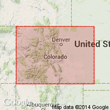
Summary:
Extended as an undivided unit into the subsurface of Baca County, Colorado, in the Anadarko basin, east of the Las Animas arch. Is less than 10 feet thick. Overlies Arbuckle limestone and underlies Viola limestone. Age is Ordovician (Chazyan and Black River). Report includes correlation chart.
Source: Modified from GNU records (USGS DDS-6; Denver GNULEX).
- Usage in publication:
-
- Simpson group
- Modifications:
-
- Revised
- AAPG geologic province:
-
- South Oklahoma folded belt
Summary:
333 p., pls. Simpson group. Comprises (ascending) Joins, Oil Creek, McLish, Tulip Creek, Bromide, and Corbin Ranch (new) formations. Comprehensive review of Simpson investigation and extensive bibliography of Simpson stratigraphy; part 2 describes Simpson OSTRACODA.
Source: US geologic names lexicon (USGS Bull. 1200, p. 3612-3613).
- Usage in publication:
-
- Simpson Group
- Modifications:
-
- Overview
Summary:
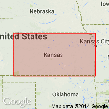
(Paleozoic Era; [Cambrian through Mississippian Systems] by E.D. Goebel, p. 14.) Simpson Group. Includes [in ascending order] beds of sandstone and shale [referred to as lower Simpson beds], the St. Peter Sandstone, the Plattville Formation, and the Viola Limestone. Simpson rocks in Kansas represent only a part of the Simpson of Oklahoma, where the rocks exceed 1,500 feet in thickness (Lee, 1956, Kansas Geol. Survey Bull., no. 121, 167 p.). Probably Simpson rocks formerly were present throughout eastern and central Kansas, but pre-Devonian (or pre-Chattanooga) erosion removed them from the Chautauqua arch, and early Mississippian and early Pennsylvanian erosion removed them from considerable areas on the Central Kansas uplift and northern part of the Nemaha anticline. In the Hugoton embayment, the Simpson is represented by about 90 feet of sandy dolomite, white dolomitic sandstone, and blue-green to gray shale, which thins to the north and west. Occurs above the Arbuckle Group. Age is Middle Ordovician.
Source: Publication.
- Usage in publication:
-
- Simpson Group*
- Modifications:
-
- Age modified
- AAPG geologic province:
-
- Anadarko basin
Summary:
Age refined to Black Riveran and Rocklandian of the Ordovician. Overlies Arbuckle Group and underlies Viola Limestone. Upper part correlates with Harding Sandstone of Front Range west to Minturn area. Correlation chart. Occurs in subsurface of Baca County, Colorado, in the Anadarko basin. Isopach map of Harding Sandstone and equivalents.
Source: GNU records (USGS DDS-6; Denver GNULEX).
For more information, please contact Nancy Stamm, Geologic Names Committee Secretary.
Asterisk (*) indicates published by U.S. Geological Survey authors.
"No current usage" (†) implies that a name has been abandoned or has fallen into disuse. Former usage and, if known, replacement name given in parentheses ( ).
Slash (/) indicates name conflicts with nomenclatural guidelines (CSN, 1933; ACSN, 1961, 1970; NACSN, 1983, 2005, 2021). May be explained within brackets ([ ]).