- Usage in publication:
-
- Silver Run limestone*
- Modifications:
-
- Named
- Dominant lithology:
-
- Limestone
- AAPG geologic province:
-
- Piedmont-Blue Ridge province
Summary:
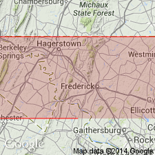
Named the Silver Run limestone for Silver Run, Carroll Co., MD. Consists of Blue thin-bedded, argillaceous banded, finely crystalline limestone in which the argillaceous material forms slaty or muscovite partings. Unit occurs largely northwest of outcrops of the Wakefield marble and in places seems to grade into the marble, and therefore, may be correlative to it. The Silver Run limestone extends into southeastern PA. Unit is infolded with and underlies the Marburg schist and Ijamsville phyllite. The Silver Run is of early Paleozoic(?) age.
Source: GNU records (USGS DDS-6; Reston GNULEX).

- Usage in publication:
-
- Silver Run Limestone Member
- Modifications:
-
- Revised
- Dominant lithology:
-
- Limestone
- Phyllite
- AAPG geologic province:
-
- Piedmont-Blue Ridge province
Summary:
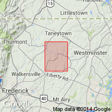
Revised the Silver Run to the Silver Run Limestone Member of the Marburg Formation. Consists of medium to dark bluish-gray, fine-grained, thin-bedded to laminated, siliceous to argillaceous or micaceous limestone interbedded with minor amounts of black or silvery-gray phyllite. Exposures exhibit tight folding and strong penetrative cleavage. Thickness is between 10 to 100 feet (3 to 30 meters). The Silver Run Limestone Member occurs near the top of the Marburg Formation and is very similar to the Frederick Limestone to the west and the Conestoga Limestone in southeastern PA. The Silver Run is of Cambrian and Ordovician(?) age based on correlation with the Frederick and Conestoga Limestones which contain fossils.
Source: GNU records (USGS DDS-6; Reston GNULEX).

- Usage in publication:
-
- Silver Run Limestone*
- Modifications:
-
- Age modified
- AAPG geologic province:
-
- Piedmont-Blue Ridge province
Summary:
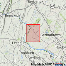
Based on stratigraphic interpretations, the age of the Silver Run Limestone is changed to Late Proterozoic(?) and Early Cambrian(?). Consists of light bluish-gray to medium light gray, thin-bedded, laminated, carbonaceous and argillaceous limestone.
Source: GNU records (USGS DDS-6; Reston GNULEX).
For more information, please contact Nancy Stamm, Geologic Names Committee Secretary.
Asterisk (*) indicates published by U.S. Geological Survey authors.
"No current usage" (†) implies that a name has been abandoned or has fallen into disuse. Former usage and, if known, replacement name given in parentheses ( ).
Slash (/) indicates name conflicts with nomenclatural guidelines (CSN, 1933; ACSN, 1961, 1970; NACSN, 1983, 2005, 2021). May be explained within brackets ([ ]).

