

- Usage in publication:
-
- Silo sandstone*
- Modifications:
-
- Original reference
- Dominant lithology:
-
- Sandstone
- Clay
- AAPG geologic province:
-
- Ouachita folded belt
Summary:
Pg. 6. Silo sandstone. Fine brown friable sandstone and sandy clays, locally indurated by ferruginous cement, shale, and shaly sandstone. Thickness 200 to 500 feet. Top formation of Cretaceous in Atoka quadrangle. Overlies Bennington limestone. Age is Late Cretaceous.
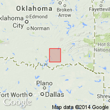
Named from Silo [in T. 6 S., R. 8 E., Atoka quadrangle], Bryan Co., southeastern OK.
[GNC remark (ca. 1938, US geologic names lexicon, USGS Bull. 896): †Silo sandstone (abandoned) is same as Woodbine sand, older and better-established name.]
Source: US geologic names lexicon (USGS Bull. 896, p. 1997).
For more information, please contact Nancy Stamm, Geologic Names Committee Secretary.
Asterisk (*) indicates published by U.S. Geological Survey authors.
"No current usage" (†) implies that a name has been abandoned or has fallen into disuse. Former usage and, if known, replacement name given in parentheses ( ).
Slash (/) indicates name conflicts with nomenclatural guidelines (CSN, 1933; ACSN, 1961, 1970; NACSN, 1983, 2005, 2021). May be explained within brackets ([ ]).