The National Geologic Map Database is migrating to a new infrastructure. We apologize for any service disruptions during this process.
|
|---|


- Usage in publication:
-
- Sillem Member*
- Modifications:
-
- Named
- Dominant lithology:
-
- Conglomerate
- Sandstone
- Mudstone
- Claystone
- AAPG geologic province:
-
- Green River basin
Summary:
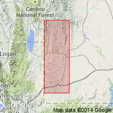
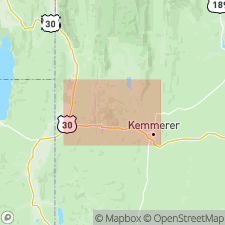
Named as basal member of Fowkes Formation for exposures on Sillem Ridge, Lincoln Co, WY in Greater Green River basin. Type section measured and described north of Sage, WY from about center of sec 5, T21N, R119W to about center of sec 33, T22N, R119W. Is 108 ft thick at type. Ranges from 100-400 ft thick in quad. Is also present on east side of Bear Lake Plateau, near mouth of Acock Canyon. Consists of a basal unit of conglomerate, sandstone, mudstone, and claystone and an upper unit of gray mudstone and claystone. Conglomerate of lower unit has very well rounded pebbles and boulders (1+ ft diameter) of dark colored chert, and Paleozoic limestone (mostly from Madison limestone). Upper part of upper unit includes coarse volcanic debris such as biotite flakes, magnetite, amphibole laths, glass, and secondary opal. Rests conformably on Bullpen Member (new) of Wasatch Formation. Is overlain gradationally by Bulldog Hollow Member (new) of Fowkes. Of Eocene, probably middle, age (ostracodes, gastropods). Stratigraphic charts.
Source: GNU records (USGS DDS-6; Denver GNULEX).
- Usage in publication:
-
- Sillem Member*
- Modifications:
-
- Overview
- Dominant lithology:
-
- Mudstone
- Sandstone
- Siltstone
- Conglomerate
- AAPG geologic province:
-
- Green River basin
Summary:
Is the basal member (of 3 members) of Fowkes Formation. Overlies Bullpen Member of Wasatch Formation. Underlies Bulldog Hollow Member of Fowkes. Mapped (geologic map, cross sections) at west side of map as far north as north side of Antelope Creek, sec 3, T22N, R119W. Mapped area lies in Lincoln Co, WY, Greater Green River basin. Consists of gray sparingly tuffaceous mudstone, fine-grained sandstone, siltstone, and conglomerate. Pebbles and cobbles in conglomerate are well rounded and consist of predominantly gray and tan pebbles of quartzite and chert, some Paleozoic limestone, and distinctive pebbles of gray to black quartzitic conglomerate with pebbles and granules of gray quartzite derived from Brigham Quartzite exposed to west in ID. Fines winnowed from conglomerate form a gravel pavement on crest of Sillem Ridge. Ranges from 100 to at least 400 ft thick. Lacks diagnostic fossils. Is probably middle Eocene age.
Source: GNU records (USGS DDS-6; Denver GNULEX).
For more information, please contact Nancy Stamm, Geologic Names Committee Secretary.
Asterisk (*) indicates published by U.S. Geological Survey authors.
"No current usage" (†) implies that a name has been abandoned or has fallen into disuse. Former usage and, if known, replacement name given in parentheses ( ).
Slash (/) indicates name conflicts with nomenclatural guidelines (CSN, 1933; ACSN, 1961, 1970; NACSN, 1983, 2005, 2021). May be explained within brackets ([ ]).