The National Geologic Map Database is migrating to a new infrastructure. We apologize for any service disruptions during this process.
|
|---|


- Usage in publication:
-
- Shuyak Formation
- Modifications:
-
- Named
- Dominant lithology:
-
- Greenstone
- Limestone
- Breccia
- Tuff
- AAPG geologic province:
-
- Kodiak province
- Alaska Southwestern region
Summary:
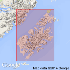
Type section designated as exposures on north shore of west part of Shuyak Strait, Shuyak Island, north Kodiak Islands, AK. Named first used by Connelly and Moore (1977). Divided into informal lower volcanic member and upper sedimentary member. Consists of pillowed greenstone with interbedded limestone, breccia, agglomerate, and tuff; volcaniclastic turbidites, conglomerate, siliceous tuff, and argillite. Thickness is over 7,000 m. Is well-bedded. Represents seaward margin of lower Mesozoic forearc basin. Structurally overlies Kodiak Islands schist terrane and Uyak Complex but is separated from them by Afognak pluton. Is Late Triassic age.
Source: GNU records (USGS DDS-6; Menlo GNULEX).
- Usage in publication:
-
- Shuyak Formation*
- Modifications:
-
- Mapped
- AAPG geologic province:
-
- Kodiak province
- Alaska Southwestern region
Summary:
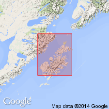
Mapped on northeast side of Kodiak Islands; sedimentary and volcanic members shown separately. Flute casts and complete Bouma sequences indicate deposition by turbidity currents of sedimentary member which contains pelecypod (HALOBIA HALORICA) of Late Triassic (Norian) age identified by N. Silberling.
Source: GNU records (USGS DDS-6; Menlo GNULEX).
For more information, please contact Nancy Stamm, Geologic Names Committee Secretary.
Asterisk (*) indicates published by U.S. Geological Survey authors.
"No current usage" (†) implies that a name has been abandoned or has fallen into disuse. Former usage and, if known, replacement name given in parentheses ( ).
Slash (/) indicates name conflicts with nomenclatural guidelines (CSN, 1933; ACSN, 1961, 1970; NACSN, 1983, 2005, 2021). May be explained within brackets ([ ]).