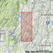
- Usage in publication:
-
- Sherman Marble*
- Modifications:
-
- Revised
- Age modified
- AAPG geologic province:
-
- New England province
Summary:
Sherman Marble of Hubbard (1924) redefined and restricted stratigraphically and geographically to include only rocks at type locality and adjacent Whitingham area as used by Skehan (1961). Other occurrences outside type locality shown as Sherman Marble by Skehan, interbedded with albitic schists, are probably Proterozoic Z or Early Cambrian in age and may be regarded as correlatives of part of Hoosac Formation. Sherman is interbedded with Wilmington Gneiss of Skehan (1961) and unconformably underlies Readsboro Formation of Skehan (1961). Age is Proterozoic Y [no explanation given for age].
Source: GNU records (USGS DDS-6; Reston GNULEX).

- Usage in publication:
-
- Sherman Marble*
- Modifications:
-
- Overview
- AAPG geologic province:
-
- New England province
Summary:
Used as Sherman Marble of Proterozoic Y age. Occurs at Sherman Reservoir at State line.
Source: GNU records (USGS DDS-6; Reston GNULEX).
For more information, please contact Nancy Stamm, Geologic Names Committee Secretary.
Asterisk (*) indicates published by U.S. Geological Survey authors.
"No current usage" (†) implies that a name has been abandoned or has fallen into disuse. Former usage and, if known, replacement name given in parentheses ( ).
Slash (/) indicates name conflicts with nomenclatural guidelines (CSN, 1933; ACSN, 1961, 1970; NACSN, 1983, 2005, 2021). May be explained within brackets ([ ]).

