The National Geologic Map Database is migrating to a new infrastructure. We apologize for any service disruptions during this process.
|
|---|


- Usage in publication:
-
- Shely Group
- Modifications:
-
- Areal extent
- Overview
- AAPG geologic province:
-
- Permian basin
Summary:
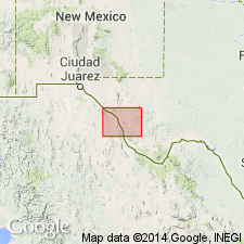
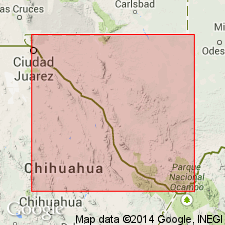
Shely Group mapped in the Pinto Canyon area, southeastern part of mapped area, Presidio Co, west TX in Permian basin. Shown on Correlation of Map Units as consisting of (ascending): Tsh8--spherulitic rhyolite, to 250 ft thick; Tsh7--rhyolitic ignimbrite, to 75 ft thick; Tsh6--rhyolitic ignimbrite, 200-250 ft thick; Tsh5 through 3--upper third of unit 5, tuff, as much as 100 ft thick; middle third, a wedge of conglomerate, pebbles, cobbles, and boulders of igneous rock in a matrix of tuffaceous sand; lower third, tuff, thickness not given; Unit 4, breccia; Unit 3, rhyolite, two flows totaling 70 ft in thickness; Tsh2--trachyte, to 400 ft thick, crops out at north end of Chinati Mountains; Tsh1--trachyte tuff and red siltstone. Age is Oligocene. Geologic map.
Source: GNU records (USGS DDS-6; Denver GNULEX).
- Usage in publication:
-
- Shely Group
- Modifications:
-
- Geochronologic dating
- AAPG geologic province:
-
- Permian basin
Summary:
Pg. 18. Shely Group. Ash-flow tuffs and lava flows. Divided into (ascending) informal members 1 through 8; member 6 correlates with member 4 of Morita Ranch Formation. Samples from rhyolites and tuffaceous sediment, in Chinati Peak, Cuesta Del Burro West, and Ruidosa Hot Springs quadrangles, Presidio County, southwestern Texas, yielded K-Ar ages from 38.3 +/-0.7 Ma to 33.0 +/-0.7 Ma (alkali feldspar, biotite). Data from D.L. Amsbury, 1958 (Univ. Texas-Austin Bur. Econ. Geol., Geol. Quad. Map No. 22), J.C. Cepeda and C.D. Henry, 1983 (Univ. Texas-Austin Bur. Econ. Geol. Rpt. Inv. No. 135, 32 p.), and C.D. Henry and J.G. Price, 1984 (Jour. Geophysical Res., v. 89, p. 8765-8786); ages recalculated using decay constants of Steiger and Jager, 1977 (Earth Planet. Sci. Letters, v. 36, p. 359-362).
[Age considered Eocene to Oligocene; Eocene-Oligocene boundary 36.6 (38-34) Ma (from Geologic Names Committee, USGS, 1983 ed. geol. time scale, with additions from N.J. Snelling, 1985, The Geol. Soc. Mem., no. 10).]
Source: Publication.
For more information, please contact Nancy Stamm, Geologic Names Committee Secretary.
Asterisk (*) indicates published by U.S. Geological Survey authors.
"No current usage" (†) implies that a name has been abandoned or has fallen into disuse. Former usage and, if known, replacement name given in parentheses ( ).
Slash (/) indicates name conflicts with nomenclatural guidelines (CSN, 1933; ACSN, 1961, 1970; NACSN, 1983, 2005, 2021). May be explained within brackets ([ ]).