The National Geologic Map Database is migrating to a new infrastructure. We apologize for any service disruptions during this process.
|
|---|


- Usage in publication:
-
- Shelley Peak Tuff*
- Modifications:
-
- Named
- Reference
- Geochronologic dating
- Dominant lithology:
-
- Rhyolite
- Tuff
- AAPG geologic province:
-
- Basin-and-Range province
Summary:
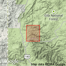
Named for Shelley Peak, Catron Co, NM in the Basin-and-Range province. Type section established in SE1/4 sec 11, T13S, R17W in the Shelley Peak quad. Reference section established in S1/2 sec 31, T8S, R20W and a second reference section established in SE1/4 sec 7, T9S, R20W. Both reference sections are in the Saliz Pass quad. Is of Oligocene age (about 28 m.y. sanidine and Zr F-T). Composed of brick-red rhyolite, compositionally zoned, ash-flow tuff; 50-60 m thick in Mogollon quad; 200 m thick in Shelley Peak quad. Phenocrysts range from 10 percent near base to 40 percent mainly sodic plagioclase and minor sanidine. Biotite, opaque oxides, green clinopyroxene, zircon, oxyhornblende, apatite and sphene are less common. Overlies lava flows or Davis Canyon Tuff (new); underlies lava flows or Bloodgood Canyon Tuff (adopted). Formerly part of Pacific Quartz Latite. Source uncertain but probably in Mogollon Mountains.
Source: GNU records (USGS DDS-6; Denver GNULEX).
- Usage in publication:
-
- Shelley Peak Tuff*
- Modifications:
-
- Areal extent
- AAPG geologic province:
-
- Basin-and-Range province
Summary:
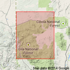
Replaces use of Railroad Canyon Formation in Indian Peaks area, Black Range, Grant and Catron Cos, NM in the Basin-and-Range province. Is now recognized as one of two regional sheets that were included in the original definition of Railroad Canyon. Is about 30 m.y. old.
Source: GNU records (USGS DDS-6; Denver GNULEX).
- Usage in publication:
-
- Shelley Peak Tuff*
- Modifications:
-
- Geochronologic dating
- AAPG geologic province:
-
- Basin-and-Range province
Summary:
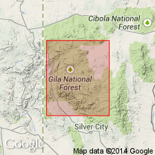
Has yielded ages of 30.1 +/-1.0, 30.5 +/-1.5, 29.1 +/-1.0, 28.7 +/-1.0, 27.4 +/-1.3, 25.7 +/-1.0, 24.4 +/-0.8 and 23.4 +/-0.8 m.y. (biotite), 28.5 +/-2.4 and 27.3 +/-2.6 m.y (zircon), 28.1 +/-1.0 m.y. (sanidine), 28.9 +/-1.8 m.y. (glass-obsidian), 31.7 +/-1.5 m.y. (feldspar). Has a 40Ar/39Ar age of 28.52 m.y. Was sampled in Catron Co, NM in the Basin-and-Range province. [These ages are generally regarded as Oligocene.]
Source: GNU records (USGS DDS-6; Denver GNULEX).
For more information, please contact Nancy Stamm, Geologic Names Committee Secretary.
Asterisk (*) indicates published by U.S. Geological Survey authors.
"No current usage" (†) implies that a name has been abandoned or has fallen into disuse. Former usage and, if known, replacement name given in parentheses ( ).
Slash (/) indicates name conflicts with nomenclatural guidelines (CSN, 1933; ACSN, 1961, 1970; NACSN, 1983, 2005, 2021). May be explained within brackets ([ ]).