The National Geologic Map Database is migrating to a new infrastructure. We apologize for any service disruptions during this process.
|
|---|


- Usage in publication:
-
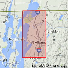
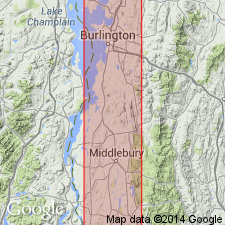
- Shelburne marble*
- Modifications:
-
- Named
- Dominant lithology:
-
- Marble
- Dolomite
- AAPG geologic province:
-
- New England province
Summary:
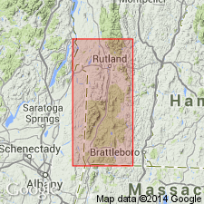
Named for many exposures in Shelburne, Chittenden Co., northwest VT. Occurs in a wide band between towns of Colchester and Hinesburg, and in smaller strips in Shelburne. Crops out as ledges. Consists mostly of white marble with some light-buff, cream, bluish-white, or mottled varieties observed. Includes thin beds of light-gray dolomite. Thickness is about 200 ft in section along Winooski River, but no upper limit is shown. Contacts with underlying Highgate slate and overlying Swanton conglomerate are sharp and distinct. No fossils found. Age given as Late Cambrian because it overlies Late Cambrian Highgate slate and is beneath the unconformity at bottom of Swanton. In addition, no contacts are known between Shelburne and Late Cambrian Milton dolomite, the next underlying unit, but the units are both conformable in dip. Highgate slate is in same position as Milton elsewhere. Highgate disappears further south, probably due to Late Cambrian erosion, in which case the Shelburne is younger than Highgate in the succession.
Source: GNU records (USGS DDS-6; Reston GNULEX).
- Usage in publication:
-
- Shelburne marble
- Modifications:
-
- Age modified
- AAPG geologic province:
-
- New England province
Summary:
Keith's (1923) so-called Milton dolomite is not true Milton of Late Cambrian age, but actually Middle Cambrian Rugg Brook conglomerate in that report area. Late Cambrian age of the Milton is widely accepted. If the Shelburne marble, which Keith states as overlying true Milton, does indeed overlie it elsewhere, then the Shelburne must be Late Cambrian age.
Source: GNU records (USGS DDS-6; Reston GNULEX).
- Usage in publication:
-
- Shelburne marble
- Modifications:
-
- Age modified
- AAPG geologic province:
-
- New England province
Summary:
Age of Shelburne given as Early Ordovician [Beekmantownian]. [Although not clearly worded, probably dated by stratigraphic position and poor fossil evidence (p. 540-541). List on p. 524 shows Shelburne as Beekmantownian; figure 3 shows it in a chart for west-central VT as straddling the Upper Cambrian and Lower Ordovician boundary. However, the USGS Lexicon (Bulletin 1200) states the unit as Early Ordovician in age.]
Source: GNU records (USGS DDS-6; Reston GNULEX).
- Usage in publication:
-
- Shelburne marble*
- Modifications:
-
- Areal extent
- Revised
- AAPG geologic province:
-
- New England province
Summary:
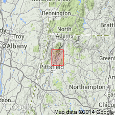
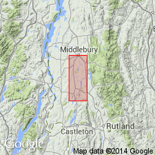
Extended from VT to MA in the Cheshire 7.5-min quad. Age is Early Ordovician. Assigned to the Stockbridge group (rank raised) because the Stockbridge formation as mapped previously is equivalent to the Shelburne and other units mapped in southern VT.
Source: GNU records (USGS DDS-6; Reston GNULEX).
- Usage in publication:
-
- Shelburne formation
- Modifications:
-
- Revised
- AAPG geologic province:
-
- New England province
Summary:
Revised as Shelburne formation. Includes Sutherland Falls marble member, an unnamed intermediate dolomite member, and Columbian marble member. Described in Clarendon-Dorset area, southwestern VT.
Source: GNU records (USGS DDS-6; Reston GNULEX).
- Usage in publication:
-
- Shelburne formation*
- Modifications:
-
- Revised
- AAPG geologic province:
-
- New England province
Summary:
Revised as Shelburne formation because of variation in lithology. Formation is not marble here, but limestone. Assigned to the Beekmantown group.
Source: GNU records (USGS DDS-6; Reston GNULEX).
For more information, please contact Nancy Stamm, Geologic Names Committee Secretary.
Asterisk (*) indicates published by U.S. Geological Survey authors.
"No current usage" (†) implies that a name has been abandoned or has fallen into disuse. Former usage and, if known, replacement name given in parentheses ( ).
Slash (/) indicates name conflicts with nomenclatural guidelines (CSN, 1933; ACSN, 1961, 1970; NACSN, 1983, 2005, 2021). May be explained within brackets ([ ]).