The National Geologic Map Database is migrating to a new infrastructure. We apologize for any service disruptions during this process.
|
|---|


- Usage in publication:
-
- Shannon Lake granite*
- Modifications:
-
- Informally named
- Dominant lithology:
-
- Granite
- AAPG geologic province:
-
- Lake Superior province
Summary:
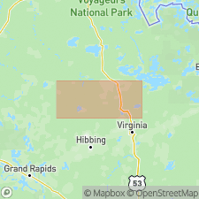
Informally named as a component of the central part of the Giants Range batholith, northeastern MN, Lake Superior province. Giants Range batholith is a multicomponent intrusive complex of Late Archean age exposed between Ely and Grand Rapids, MN, in western part of Wawa Subprovince of Superior Province. Shannon Lake pluton is at least 10X35 km is size. Shannon Lake is a muscovite and biotite granite. Shannon Lake is syn- to post-D2 deformation of supracrustal rocks in western Wawa Subprovince. Shannon Lake was emplaced in a collision setting. Generalized geologic map (figs. 2, 3). Geochemistry; modal analyses; isotopic data. Younger than Britt granodiorite (informally named) which is cut by Shannon Lake. Shannon Lake also intrudes at least one alkalic pluton and a variety of supracrustal rocks. Zircons yield U-Pb 2674 +/-5 Ma and 2674 +/-27 Ma (Late Archean).
Source: GNU records (USGS DDS-6; Denver GNULEX).
For more information, please contact Nancy Stamm, Geologic Names Committee Secretary.
Asterisk (*) indicates published by U.S. Geological Survey authors.
"No current usage" (†) implies that a name has been abandoned or has fallen into disuse. Former usage and, if known, replacement name given in parentheses ( ).
Slash (/) indicates name conflicts with nomenclatural guidelines (CSN, 1933; ACSN, 1961, 1970; NACSN, 1983, 2005, 2021). May be explained within brackets ([ ]).