

- Usage in publication:
-
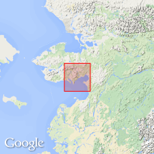
- Shaktolik group*
- Modifications:
-
- Named
- Dominant lithology:
-
- Sandstone
- Shale
- Slate
- AAPG geologic province:
-
- Alaska West-Central region
Summary:
Named after Shaktolik River in Norton Bay-Nulato region, west-central AK, which affords good section of unit. Includes Nulato sandstones of Dall and Harris (1892); "work in this region has not been sufficiently detailed to determine" whether Nulato can be retained for one of formations of this group. Divided into lower division along Shaktolik River and upper division in sedimentary area along Nulato-Gisasa divide and westward to head of Shaktolik River. Is thick series of sandstones, shales, and grits. Overlies Ungalik conglomerate (new). Fossils of Late Cretaceous age have been collected at Bishop Rock, near Melozitna River, and near head of Shaktolik River.
Source: GNU records (USGS DDS-6; Menlo GNULEX).
- Usage in publication:
-
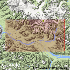
- Shaktolik group*
- Modifications:
-
- Revised
- Age modified
- Biostratigraphic dating
- AAPG geologic province:
-
- Alaska West-Central region
Summary:
Correlation chart shows Shaktolik group includes (ascending) Melozi formation, Nulato formation, and Kaltag formation in Koyukuk Valley, north-central Yukon region of Alaska. Age shown as Early Cretaceous (Albian) based on [reexamination] of fossils from unit. [Although chart includes Ungalik conglomerate, note 32, p.237 states "Ungalik conglomerate ... appears to underlie the Shaktolik group conformably ..."]
Source: GNU records (USGS DDS-6; Menlo GNULEX).
- Usage in publication:
-
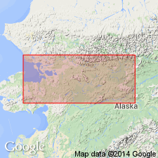
- Shaktolik Group†
- Modifications:
-
- Abandoned
- AAPG geologic province:
-
- Alaska West-Central region
Summary:
Names for Early and Late Cretaceous beds (in Yukon-Koyukuk province) referred to as Bergman Group and Shaktolik Group by earlier workers, are considered to have little practical value due to vague definition of lithology and areal limits. Rocks are subdivided into four unnamed lithologic units as shown on sketch maps of province in this paper. [Note names of formations formerly within Shaktolik Group are herein removed from group.]
Source: GNU records (USGS DDS-6; Menlo GNULEX).
For more information, please contact Nancy Stamm, Geologic Names Committee Secretary.
Asterisk (*) indicates published by U.S. Geological Survey authors.
"No current usage" (†) implies that a name has been abandoned or has fallen into disuse. Former usage and, if known, replacement name given in parentheses ( ).
Slash (/) indicates name conflicts with nomenclatural guidelines (CSN, 1933; ACSN, 1961, 1970; NACSN, 1983, 2005, 2021). May be explained within brackets ([ ]).