

- Usage in publication:
-
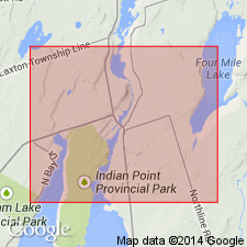
- Shadow Lake formation
- Modifications:
-
- Named
- Dominant lithology:
-
- Shale
- Limestone
- AAPG geologic province:
-
- Appalachian basin
Summary:
Named the Shadow Lake formation for Shadow Lake quarry, near Coboconk, Ontario, CAN. Unit is 18 feet of shale and limestone that overlies Precambrian rocks and underlies the Gull River formation. The Shadow Lake is of Middle Ordovician (Blackriveran) age.
Source: GNU records (USGS DDS-6; Reston GNULEX).
- Usage in publication:
-
- Shadow Lake Formation
- Modifications:
-
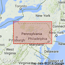
- Areal extent
- AAPG geologic province:
-
- Appalachian basin
Summary:
Geographically extended the Shadow Lake Formation to western PA. Unit only occurs in the subsurface and is combined with other Ordovician units.
Source: GNU records (USGS DDS-6; Reston GNULEX).
For more information, please contact Nancy Stamm, Geologic Names Committee Secretary.
Asterisk (*) indicates published by U.S. Geological Survey authors.
"No current usage" (†) implies that a name has been abandoned or has fallen into disuse. Former usage and, if known, replacement name given in parentheses ( ).
Slash (/) indicates name conflicts with nomenclatural guidelines (CSN, 1933; ACSN, 1961, 1970; NACSN, 1983, 2005, 2021). May be explained within brackets ([ ]).