- Usage in publication:
-
- Serena Creek Formation*
- Modifications:
-
- Named
- Reference
- Dominant lithology:
-
- Chert
- AAPG geologic province:
-
- Sierra Nevada province
Summary:
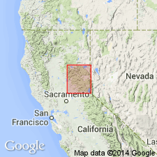
Name derived from Serena Creek. Type locality designated as exposures in walls of Serena Creek, sec.10 T16N R14E, Soda Springs 7.5' quad [Placer Co, CA]. Reference section designated as east of Sierran crest at Ward Peak, secs.17-18 T16N R16E, Tahoe City 7.5' quad [Placer Co, CA]. Is part of Lake Tahoe sequence. Primarily composed of thin-bedded tan metachert. Is approximately 300 m thick at type locality. Conformably overlies Picayune Valley Formation (new); gradationally underlies Onion Creek Formation (new). Age provisionally assigned as Mississippian or younger based on stratigraphic relations and on occurrence of brachiopod(?) fragment found in lowermost part of overlying Onion Creek Formation.
Source: GNU records (USGS DDS-6; Menlo GNULEX).
For more information, please contact Nancy Stamm, Geologic Names Committee Secretary.
Asterisk (*) indicates published by U.S. Geological Survey authors.
"No current usage" (†) implies that a name has been abandoned or has fallen into disuse. Former usage and, if known, replacement name given in parentheses ( ).
Slash (/) indicates name conflicts with nomenclatural guidelines (CSN, 1933; ACSN, 1961, 1970; NACSN, 1983, 2005, 2021). May be explained within brackets ([ ]).

