

- Usage in publication:
-
- Sentinel Hill member*
- Modifications:
-
- Named
- Biostratigraphic dating
- Dominant lithology:
-
- Bentonite
- Tuff
- AAPG geologic province:
-
- Alaska Northern region
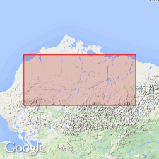
Summary:
Named as uppermost member (of 3) of Schrader Bluff formation of Colville group for section in Sentinel Hill core test no.1 Also occurs in outcrop belt along Colville River northern AK. Characterized by volcanic glass shards, abundant bentonite, and tuff. Intertongues with Kogosukruk tongue (new) of nonmarine Prince Creek formation (new) of Colville group; beds total 2340 ft in thickness. Overlies Tuluga member (new) of Schrader Bluff formation; underlies Sagavanirktok formation (new). Contains abundant radiolarians, fish bones, and diagnostic foraminifers which indicate Late Cretaceous age.
Source: GNU records (USGS DDS-6; Menlo GNULEX).
- Usage in publication:
-
- Sentinel Hill member*
- Modifications:
-
- Overview
- AAPG geologic province:
-
- Alaska Northern region
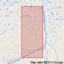
Summary:
Surface type locality designated as bluffs along northwest side of Colville River from 5 to 15 mi northeast of Umiat Mountain, northern AK. Measured type section includes 1040 ft of strata of which 335 ft near middle part are nonmarine beds assigned to Kogosukruk tongue of Prince Creek formation of Colville group. Overlies Barrow Trail member (new) of Schrader Bluff formation of Colville group.
Source: GNU records (USGS DDS-6; Menlo GNULEX).
- Usage in publication:
-
- Sentinel Hill Member†
- Modifications:
-
- Abandoned
- AAPG geologic province:
-
- Alaska Northern region
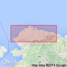
Summary:
Pg. 5 (fig. 4), 6-8 (table 1), 26. †Sentinel Hill Member of Schrader Bluff Formation of †Colville Group. Abandoned. (†Colville also abandoned.) Rocks reassigned to unnamed upper part of Schrader Bluff Formation. [See Schrader Bluff.]
Source: Publication.
For more information, please contact Nancy Stamm, Geologic Names Committee Secretary.
Asterisk (*) indicates published by U.S. Geological Survey authors.
"No current usage" (†) implies that a name has been abandoned or has fallen into disuse. Former usage and, if known, replacement name given in parentheses ( ).
Slash (/) indicates name conflicts with nomenclatural guidelines (CSN, 1933; ACSN, 1961, 1970; NACSN, 1983, 2005, 2021). May be explained within brackets ([ ]).