- Usage in publication:
-
- Senora formation*
- Modifications:
-
- First used
- Dominant lithology:
-
- Sandstone
- Shale
- AAPG geologic province:
-
- Arkoma basin
- Chautauqua platform
Summary:
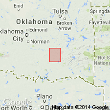
First published use of name; intent to name not stated, and no type locality designated. Origin of name not stated. Composed of interstratified sandstones and shaly beds nearly 500 ft thick in northeast part of Coalgate quad, Coal and Hughes Cos, OK, Arkoma basin and Chautauqua platform. Thickness decreases to southwest, chiefly by thinning of sandstone beds; at western edge of quad does not exceed 150 ft. In northern outcrop area, lower 320 ft of formation composed almost entirely of sandstone which forms a rugged, stony highland with sandstone bluffs, some 100 ft high, along eastern side. This sandstone grades upward through thin, sandy beds into shale strata about 160 ft thick. Near middle of quad, lower massive sandstone becomes divided and shale beds 20-75 ft thick appear. In western part of quad, sandstone beds become quite variable in thickness and in their position in the formation. Upper, and more shaly member is 100-120 ft thick in western part. In texture, sandstones are generally fine grained, and gray or reddish brown in color. Shales rarely well exposed. Bluish clay shales and brownish sandy shales belonging in upper part of series, however, are exposed in deeper cuttings of streams flowing from higher land of succeeding Calvin sandstone (new). Is younger than Stuart shale (new). Carboniferous age. Columnar section, geologic map.
Source: GNU records (USGS DDS-6; Denver GNULEX).

- Usage in publication:
-
- Senora Formation
- Modifications:
-
- Revised
- AAPG geologic province:
-
- Chautauqua platform
Summary:
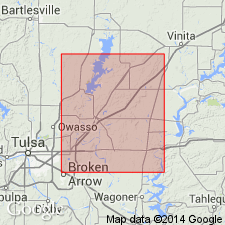
A 6-21 ft thick sandstone about 142 ft below top of Senora Formation of Cabaniss Group named Oowala Sandstone Member of Senora. The new member overlies and underlies unnamed silty gray shales of the Senora. Senora Formation overlies Boggy Formation of Krebs Group. Underlies Fort Scott Formation of Marmaton Group. Divided into Weir-Pittsburg coal (base), lower shale with Taft sandstone and RC coal, Tebo coal, Tiawah Limestone Member, unnamed shale, Chelsea Sandstone Member, Mineral coal, unnamed shale, Croweburg coal, unnamed shale, Oowala Sandstone Member (new), unnamed shale, Verdigris Limestone Member, unnamed shale, Lagonda Sandstone Member, unnamed siltstone, Iron Post coal, Kinnison Shale Member, Breezy Hill Limestone Member, Excello Shale Member. Columnar section. Of Desmoinesian age. Report area lies on the Chautauqua platform of OK.
Source: GNU records (USGS DDS-6; Denver GNULEX).
For more information, please contact Nancy Stamm, Geologic Names Committee Secretary.
Asterisk (*) indicates published by U.S. Geological Survey authors.
"No current usage" (†) implies that a name has been abandoned or has fallen into disuse. Former usage and, if known, replacement name given in parentheses ( ).
Slash (/) indicates name conflicts with nomenclatural guidelines (CSN, 1933; ACSN, 1961, 1970; NACSN, 1983, 2005, 2021). May be explained within brackets ([ ]).

