- Usage in publication:
-
- Seeley slate
- Modifications:
-
- Named
- Dominant lithology:
-
- Slate
- AAPG geologic province:
-
- Wisconsin arch
Summary:
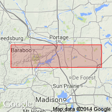
Seeley slate described as gray clay slate, 500 to 1000+/-ft thick. Appears to grade into overlying Freedom formation and to rest on Baraboo quartzite without evidence of unconformity. Does not outcrop, but is found only by exploration. Named for occurrence near Seeley Creek.
Source: GNU records (USGS DDS-6; Reston GNULEX).

- Usage in publication:
-
- Seeley Formation
- Modifications:
-
- Overview
- AAPG geologic province:
-
- Wisconsin arch
Summary:
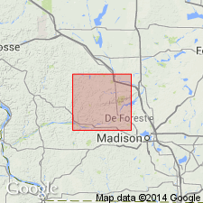
No outcrops of Seeley Formation are known. No modern description of unit available. According to Weidman (1904) occurs in the subsurface for a distance of 8 km southwest of the village of North Freedom. Probably occurs elsewhere between the North and South Ranges. Samples collected from the core dump at Cahoon Mine are believed to be from the Seeley Formation. These were described by Geiger (1986) as gray to green, depending on chlorite content, with laminated bedding and well developed tectonic cleavage at high-angle to bedding. Grain size equivalent to fine-grained phyllite rather than slate. Lower contact with Baraboo probably transitional. Phyllite beds found in upper Baraboo and quartzite beds found in lower Seeley. Transitional beds observed in cuts along Hwy 12 on north side of South Range. Unit shown as Early Proterozoic.
Source: GNU records (USGS DDS-6; Reston GNULEX).
For more information, please contact Nancy Stamm, Geologic Names Committee Secretary.
Asterisk (*) indicates published by U.S. Geological Survey authors.
"No current usage" (†) implies that a name has been abandoned or has fallen into disuse. Former usage and, if known, replacement name given in parentheses ( ).
Slash (/) indicates name conflicts with nomenclatural guidelines (CSN, 1933; ACSN, 1961, 1970; NACSN, 1983, 2005, 2021). May be explained within brackets ([ ]).

