

- Usage in publication:
-
- Schulze Formation*
- Modifications:
-
- Named
- Dominant lithology:
-
- Chert
- Sandstone
- AAPG geologic province:
-
- Alaska Southern region
Summary:
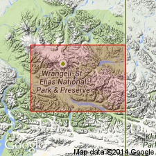
Named for exposure near Schulze copper prospect in McCarthy B-5 quad. Type area designated on upland north of Sourdough Peak east of upper reaches of Nikolai Creek, McCarthy B-5 quad, southern Wrangell Mountains, southern AK. Also crops out in McCarthy A-4, B-4 and C-6 quads. Consists of porcellanite and chert with interbedded sandstone and arenite. Color is mainly light or medium gray weathering to pale yellow or pale yellowish brown. Thickness ranges from 100 to 225 ft or more. Discordantly overlies Kennicott Formation; conformably underlies Chititu Formation (new). Locally unconformably underlies Quaternary surficial deposits. Intruded by few Tertiary dikes and sills. Age span is probably late Albian(?) to Cenomanian (Early? and Late Cretaceous) based on poorly preserved fossils and stratigraphic relations.
Source: GNU records (USGS DDS-6; Menlo GNULEX).
For more information, please contact Nancy Stamm, Geologic Names Committee Secretary.
Asterisk (*) indicates published by U.S. Geological Survey authors.
"No current usage" (†) implies that a name has been abandoned or has fallen into disuse. Former usage and, if known, replacement name given in parentheses ( ).
Slash (/) indicates name conflicts with nomenclatural guidelines (CSN, 1933; ACSN, 1961, 1970; NACSN, 1983, 2005, 2021). May be explained within brackets ([ ]).