The National Geologic Map Database is migrating to a new infrastructure. We apologize for any service disruptions during this process.
|
|---|


- Usage in publication:
-
- Schuler formation
- Schuler facies
- Modifications:
-
- Original reference
- Dominant lithology:
-
- Shale
- Sandstone
- Conglomerate
- Limestone
- AAPG geologic province:
-
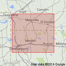
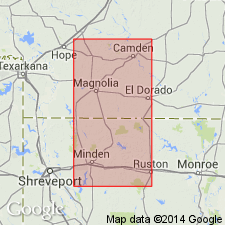
- Mid-Gulf Coast basin
Summary:
Pg. 724-725. Schuler formation or Schuler facies of Cotton Valley formation. Applied to formation underlying basal gravel of Travis Peak and overlying Buckner formation (new) or older beds where Buckner is absent in south Arkansas. Includes Morgan sands zone near top and Jones sand at base in Schuler oil field, where thickness is about 2,250 feet. Named by Shreveport Geological Society.
Type locality: Schuler oil field, Union Co., AR.
Source: US geologic names lexicon (USGS Bull. 1200, p. 3499).
- Usage in publication:
-
- Schuler formation
- Modifications:
-
- Principal reference
- Revised
- AAPG geologic province:
-
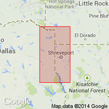
- Arkla basin
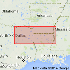
- East Texas basin
- Mid-Gulf Coast basin
Summary:
Pg. 594-609. Schuler formation. Redefined as formation; upper formation of Cotton Valley group (rank raised). Includes updip nearshore or nonmarine pastel and red-green shales, sandstones, and basal conglomerates and offshore equivalents of these rocks which are dark-gray fossiliferous shales, limestones, sandstones, and basal conglomerates lying stratigraphically between base of Hosston formation and top of Bossier formation (new). Subdivided into (ascending) newly named Dorcheat (1,200+ feet) and Shongaloo (1,000+ feet) members; both have nearshore (red) and offshore (gray) facies. Age is Late Jurassic; pelecypods of Portlandian and Tithonian age identified by R.W. Imlay (written commun., date unspecified). Report includes nomenclature chart, isopach map. Type section stated; well-cuttings described. (Adopted by the USGS.)
Recognized in subsurface of southern Arkansas, northern Louisiana, east Texas, and central Mississippi (Hinds and Newton Counties). Includes rocks formerly assigned to Cotton Valley in subsurface of southern Arkansas and northernmost Louisiana.
Type section (subsurface; nearshore facies): depth-interval 5,385 to 7,475 ft (Dorcheat 5,385 to 6,445 ft; Shongaloo 6,445 to 7,475 ft), Lion Oil Refining Company, and Phillips Petroleum Company's Edna Morgan No. 1 well, in center NE/4 SW/4 sec. 18, T. 18 S., R. 17 W., Union Co., AR.
Type locality: Schuler oil field, Union Co., AR.
Source: Publication; US geologic names lexicon (USGS Bull. 1200, p. 3499); supplemental information from GNU records (USGS DDS-6; Denver GNULEX).
- Usage in publication:
-
- Schuler Formation
- Modifications:
-
- Revised
- AAPG geologic province:
-
- Arkla basin
Summary:
Restricted as upper formation of the Cotton Valley Group to the updip nearshore red bed facies of the Cotton Valley Group of several earlier authors (Shearer, 1938; Hazzard, 1939; etc.). This facies is recognized in southern AR in the Arkla basin. Divisible into the Shongaloo (base) and Dorcheat (top) Members, also restricted to the updip facies. Extends for a short distance into northern LA. Overlies Bossier Formation of Cotton Valley Group and Buckner Formation depending on the locality. Underlies Hosston Formation. Cross sections. Late Jurassic age. Intertongues downdip in northern LA into the Terryville Sandstone, Hico Shale, and Knowles Limestone, all newly named formations representing the downdip facies of the Cotton Valley.
Source: GNU records (USGS DDS-6; Denver GNULEX).
- Usage in publication:
-
- Schuler Formation*
- Modifications:
-
- Reference
- AAPG geologic province:
-
- East Texas basin
- Arkla basin
Summary:
Is upper formation of Cotton Valley Group, above Q tongue of Bossier Formation of Cotton Valley Group or above upper member of Buckner Formation. Updip sections are lenticular, fine-grained, red, pink, or gray sandstone, variegated shale or mudstone of nearshore or nonmarine origin. Downdip sections are gray fine-grained sandstone and dark-gray fossiliferous shale. Underlies Hosston Formation. Thickens southward to more than 2,000 ft in southern AR. Isopach map; area includes counties of northeasternmost TX, East Texas basin and adjoining southwest AR and northwest LA, Arkla basin. Two reference sections designated: 1) McAlester Fuel Co. Hervey well A-1 Schuler is 1,285 ft thick between depths of 5,035 and 6,360 ft of white, pink, tan, very fine to medium grained sandstone that may be well sorted, porous, argillaceous, gray-pink shale that may be pyritic and noncalcareous, red-brown finely micaceous mudstone; 2) Carter Crystal-Whited well 1 is 1,659 ft thick between depths of 8,307 and 9,966 ft of gray, very fine to medium grained sandstone that may be calcareous, fossiliferous, micaceous, brown to gray shale that may be fossiliferous, brown, gray limestone that may be argillaceous, fossiliferous, and a conglomerate of quartz pebbles. Isopach map of P tongue of Schuler which intertongues with Q tongue of Bossier. Cross section, stratigraphic chart. Late Jurassic age.
Source: GNU records (USGS DDS-6; Denver GNULEX).
For more information, please contact Nancy Stamm, Geologic Names Committee Secretary.
Asterisk (*) indicates published by U.S. Geological Survey authors.
"No current usage" (†) implies that a name has been abandoned or has fallen into disuse. Former usage and, if known, replacement name given in parentheses ( ).
Slash (/) indicates name conflicts with nomenclatural guidelines (CSN, 1933; ACSN, 1961, 1970; NACSN, 1983, 2005, 2021). May be explained within brackets ([ ]).