


- Usage in publication:
-
- Satsop formation
- Modifications:
-
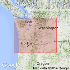
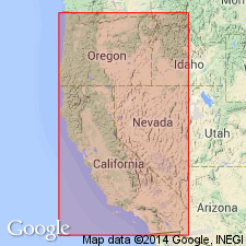
- Areal extent
- Biostratigraphic dating
- AAPG geologic province:
-
- Columbia basin
Summary:
Mapped along Columbia River Gorge, OR. Satsop formation recognized along Sandy River and Viento Canyon. Described as gravels, sandstone and ashy shales of probable Pleistocene age. Fossil Flora from Buck Creek tributary of Sandy River probably belong to Pleistocene epoch.
Source: GNU records (USGS DDS-6; Menlo GNULEX).
- Usage in publication:
-
- Satsop formation
- Modifications:
-
- Named
- Biostratigraphic dating
- AAPG geologic province:
-
- Cascades province
- Columbia basin
Summary:
Named by Bretz in abstract (1915, GSA Bull., v.26 p.131). Type section designated as exposures in Satsop valley, tributary of Chehalis valley [46 deg 58'45"N, 123 deg 28' 48"W, Malone 15' quad, Grays Harbor Co, WA]. Thickness 300 ft in Chehalis Valley; 200 ft south of Grays Harbor; 75 ft in Willapa Bay region; 150 ft in Cowlitz Valley; 500 ft along Sandy River; 500 ft at Angels Rest; 700 ft in Benson Plateau of Cascade Range. At the Dalles (what is regarded as phase) is 1000 ft thick. Unconformably overlies Tertiary and older rocks. In Columbia River Valley unconformably overlies Columbia River lava. Is assigned Quaternary age based on fossil flora and fauna.
Source: GNU records (USGS DDS-6; Menlo GNULEX).
- Usage in publication:
-
- Satsop formation
- Modifications:
-
- Not used
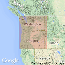
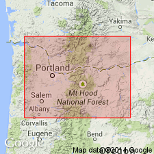
- Areal extent
- AAPG geologic province:
-
- Columbia basin
Summary:
"Satsop" in Columbia River Gorge had been considered Quaternary by correlation mainly through lithologic similarity with fossiliferous marine Satsop formation on Washington coast. However in eastern part of gorge "Satsop" gravels underlie Dalles beds; in central WA they underlie middle Neocene [Neogene] Ellensburg formation. Since "Satsop" of gorge is not correlative with Satsop formation on WA coast, new name "Hood River Formation" is proposed.
Source: GNU records (USGS DDS-6; Menlo GNULEX).
- Usage in publication:
-
- Satsop formation*
- Modifications:
-
- Adopted
- AAPG geologic province:
-
- Columbia basin
Summary:
"Mr. Williams [1916] who is very familiar with the middle Deschutes Basin, believes that the Deschutes formation may possibly be a correlative of the Satsop because of its lithologic resemblance to the Satsop and because it rests unconformably on the Columbia River basalt." p.142
Source: GNU records (USGS DDS-6; Menlo GNULEX).
- Usage in publication:
-
- Satsop formation
- Modifications:
-
- Not used
- AAPG geologic province:
-
- Columbia basin
Summary:
Beds first described as "Satsop formation" (Williams, 1916; Bretz, 1917) are here referred to as Hood River conglomerate which could be considered member of either Ellenburg or Dalles formations or it may equally well be considered independent because of lithology and possible difference in deposition. "Professor Bretz agrees that the new determination of the age of the Dalles formation [from Pleistocene to possibly late Miocene or early Pliocene] necessitates the rejection of his correlation of the quartzite-bearing gravel with the Pleistocene Satsop formation" (oral commun.) p.108
Source: GNU records (USGS DDS-6; Menlo GNULEX).
- Usage in publication:
-
- Satsop formation
- Modifications:
-
- Not used
- AAPG geologic province:
-
- Cascades province
Summary:
Williams (1916) and Bretz (1917) incorrectly correlated gravels of Cascade Range along Columbia Gorge with Pleistocene Satsop formation of western WA. Buwalda and Moore (1927, 1930) assigned "Middle Neocene" age to Hood River conglomerate. "This formation is part of the 'Satsop' formation as discussed by Williams and Bretz and has recently been extended into eastern Washington by Warren (1941)" p.324. "Consistent with ... the suggestion made by Bretz [1917, p.454] that the Dalles formation is the equivalent of the Troutdale (his Satsop), is the close relationship between the Dalles and Troutdale flora" p.325.
Source: GNU records (USGS DDS-6; Menlo GNULEX).
- Usage in publication:
-
- Satsop formation
- Modifications:
-
- Not used
- AAPG geologic province:
-
- Columbia basin
Summary:
Gravels which were deposited by ancestral Columbia River of Satsop Formation of Williams (1916) were called Troutdale formation by Hodge (1933)
Source: GNU records (USGS DDS-6; Menlo GNULEX).
- Usage in publication:
-
- Satsop Formation
- Modifications:
-
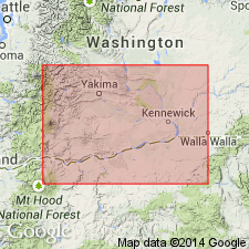
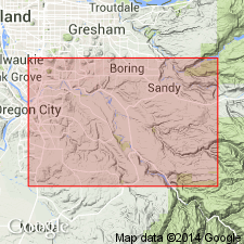
- Areal extent
- AAPG geologic province:
-
- Columbia basin
- Cascades province
- Puget Sound province
Summary:
Satsop Formation of J. Harlen Bretz along Satsop River near Aberdeen, WA is here extended to include such sedimentary deposits in Willamette-Puget downwarp. In Clackamas Upland area Satsop Formation is easily differentiated from underlying Troutdale Formation by its coarseness, its ashy matrix, and strong unconformity. Assigned early Pleistocene age in stratigraphic column.
Source: GNU records (USGS DDS-6; Menlo GNULEX).
For more information, please contact Nancy Stamm, Geologic Names Committee Secretary.
Asterisk (*) indicates published by U.S. Geological Survey authors.
"No current usage" (†) implies that a name has been abandoned or has fallen into disuse. Former usage and, if known, replacement name given in parentheses ( ).
Slash (/) indicates name conflicts with nomenclatural guidelines (CSN, 1933; ACSN, 1961, 1970; NACSN, 1983, 2005, 2021). May be explained within brackets ([ ]).