

- Usage in publication:
-
- Sardis formation
- Modifications:
-
- First used
- Dominant lithology:
-
- Sand
- AAPG geologic province:
-
- Upper Mississippi embayment
Summary:
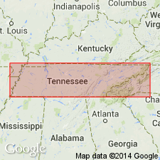
Sardis formation introduced in this abstract. Described as transgressive infralittoral, very glauconitic quartz sands unconformably overlying Coffee sand and conformably underlying Demopolis formation in western TN. Age is Late Cretaceous.
Source: GNU records (USGS DDS-6; Reston GNULEX).
- Usage in publication:
-
- Sardis Formation
- Modifications:
-
- Named
- Dominant lithology:
-
- Sand
- Clay
- Glauconite
- AAPG geologic province:
-
- Upper Mississippi embayment
Summary:
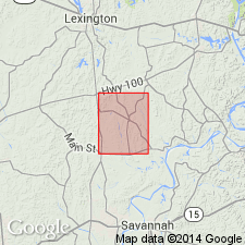
Name Sardis Formation formally proposed. Includes the very glauconitic sands, argillaceous glauconitic sands, and glauconitic sandy clays that underlie the marls and calcareous clays of Demopolis Formation and overlie the sparsely glauconitic sands and clays of Coffee Formation. Both boundaries are conformable. Lower boundary, exposed at type section, is marked by thin irregular ferruginous sand and sandstone in top of Coffee Formation. Upper contact, not well exposed here, is gradational. Thickness about 40 ft at type. Thins southward into Alcorn Co., MS, where it merges with lower part of Coon Creek Formation. Age is Late Cretaceous.
Source: GNU records (USGS DDS-6; Reston GNULEX).
- Usage in publication:
-
- Sardis Formation*
- Modifications:
-
- Overview
- AAPG geologic province:
-
- Upper Mississippi embayment
Summary:
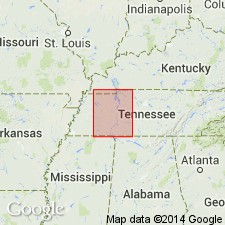
Sardis Formation is mapped in study area. Overlies the Coffee Sand and underlies the Demopolis Formation. Nomenclature follows usage of the Tennessee Division of Geology, cooperators of the map. Merges with the Coffee Sand in northeastern MS. Northward, merges with lower part of Coon Creek Formation. Lateral equivalent of the lower part of the Demopolis Formation in TN.
Source: GNU records (USGS DDS-6; Reston GNULEX).
- Usage in publication:
-
- Sardis Formation
- Modifications:
-
- Overview
- Areal extent
- AAPG geologic province:
-
- Upper Mississippi embayment
Summary:
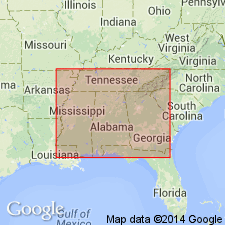
Unit extends a short distance into northeastern MS according to fig. 4. Reaches a maximum thickness of 13 m near Beech River. Thins southward a short distance and disappears, as a lithology, into the upper Coffee Formation. Age is Late Cretaceous.
Source: GNU records (USGS DDS-6; Reston GNULEX).
For more information, please contact Nancy Stamm, Geologic Names Committee Secretary.
Asterisk (*) indicates published by U.S. Geological Survey authors.
"No current usage" (†) implies that a name has been abandoned or has fallen into disuse. Former usage and, if known, replacement name given in parentheses ( ).
Slash (/) indicates name conflicts with nomenclatural guidelines (CSN, 1933; ACSN, 1961, 1970; NACSN, 1983, 2005, 2021). May be explained within brackets ([ ]).