- Usage in publication:
-
- Sans Sault group
- Modifications:
-
- Named
- Dominant lithology:
-
- Shale
- Sandstone
- AAPG geologic province:
-
- Mackenzie trough
Summary:
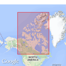
Named as group in vicinity of Mackenzie River Valley, Mackenzie trough, Northwest Territories, CN. Named for San Sault Rapids on Mackenzie river near mouth of Mountain River. [Type inferred to be at or near San Sault Rapids.] Upper 114 ft at type contain ammonites of the BEUDANTICERAS type and bivalves of Early Cretaceous age. Rests disconformably on Devonian strata, and, in locality from which name is derived, lies directly on lower Fort Creek formation (Upper Devonian), and in places, on the Ramparts formations (Middle Devonian). Includes all beds from base of Lower Cretaceous upward to the base of a non-sandy, thick shale series. Is defined as being composed essentially of shales and sandstones of marine origin from the base upward to the first or lowest bentonite bed of the overlying Slater River formation (new). Is noted to show its fullest development on Mountain River where the stream cuts across Imperial Range; section here is 3,850 ft thick.
Source: GNU records (USGS DDS-6; Denver GNULEX).
For more information, please contact Nancy Stamm, Geologic Names Committee Secretary.
Asterisk (*) indicates published by U.S. Geological Survey authors.
"No current usage" (†) implies that a name has been abandoned or has fallen into disuse. Former usage and, if known, replacement name given in parentheses ( ).
Slash (/) indicates name conflicts with nomenclatural guidelines (CSN, 1933; ACSN, 1961, 1970; NACSN, 1983, 2005, 2021). May be explained within brackets ([ ]).

