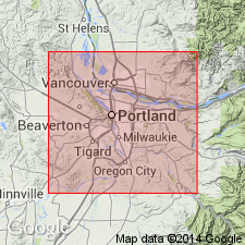
- Usage in publication:
-
- Sandy River Mudstone*
- Modifications:
-
- Original reference
- AAPG geologic province:
-
- Western Columbia basin
Summary:
Pg. 10 (fig. 4), 26-28, pl. 1. Sandy River Mudstone. Name applied to mudstone, siltstone, claystone, and sandstone beds that overlie Rhododendron Formation and underlie Troutdale Formation. Maximum exposed thickness between 200 and 300 feet in valley of Buck Creek; inferred thickness about 725 feet based on well log. Rocks formerly were considered to be lower part or member of Troutdale Formation (citing Trimble, 1957, USGS Geol. Quad. Map GQ-104). Age is probably early Pliocene, based on flora of upper contact zone.
Source: US geologic names lexicon (USGS Bull. 1350, p. 665).
For more information, please contact Nancy Stamm, Geologic Names Committee Secretary.
Asterisk (*) indicates published by U.S. Geological Survey authors.
"No current usage" (†) implies that a name has been abandoned or has fallen into disuse. Former usage and, if known, replacement name given in parentheses ( ).
Slash (/) indicates name conflicts with nomenclatural guidelines (CSN, 1933; ACSN, 1961, 1970; NACSN, 1983, 2005, 2021). May be explained within brackets ([ ]).

