

- Usage in publication:
-
- Sandridge Member
- Modifications:
-
- Original reference
- Dominant lithology:
-
- Sand
- AAPG geologic province:
-
- Atlantic Coast basin
Summary:
Sandridge Member of Wicomico Formation. Upper Wicomico Formation divided into five members: Toney Bay, Dean Swamp, Sandridge, Wassamassaw Swamp, and Four Hole. The Sandridge consists almost entirely of well-sorted angular to subspherial fine-grained quartz sand. Thin discontinuous coarse-grained sand lenses encountered. No significant structures noted. Represents a sand bar and barrier island. Age is early Pleistocene.
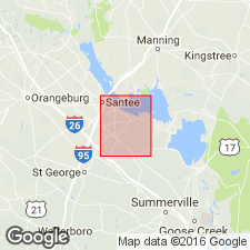
Named from Sandridge, Eutawville quadrangle, eastern SC.
Source: US geologic names lexicon (USGS Bull. 1350, p. 663).
For more information, please contact Nancy Stamm, Geologic Names Committee Secretary.
Asterisk (*) indicates published by U.S. Geological Survey authors.
"No current usage" (†) implies that a name has been abandoned or has fallen into disuse. Former usage and, if known, replacement name given in parentheses ( ).
Slash (/) indicates name conflicts with nomenclatural guidelines (CSN, 1933; ACSN, 1961, 1970; NACSN, 1983, 2005, 2021). May be explained within brackets ([ ]).