- Usage in publication:
-
- sanders basalt*
- Modifications:
-
- Named
- Dominant lithology:
-
- Basalt
- AAPG geologic province:
-
- Basin-and-Range province
Summary:
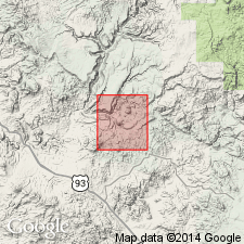
Named for Sanders Mesa, south central part of report area, Yavapai Co, AZ in Basin-and-Range province. No type locality designated. Occurs in a crescent-shaped belt that extends from Nelson Mesa on east to Black Mesa on west. Caps other mesas to west, north, and northeast of map area. Rests on rhyolitic tuff of Gila? conglomerate. Poured out over Wilder formation (new) or on Gila?. Individual flows are thin (5 to 50 ft). As many as seven counted on mesa walls. Thicknesses of 50 ft (Nelson Mesa), 100 ft (west wall Bozarth Mesa), and 200 ft (Copper Creek Mesa) reported. Is grayish black, contains conspicuous laths of plagioclase separated by microscopic olivine and augite crystals. Grains range from fine to very fine. Coarse vesicles common in upper and lower parts of each flow. Assigned a late Tertiary? and Pleistocene? age [based on stratigraphic relations with Gila? conglomerate]. Geologic map.
Source: GNU records (USGS DDS-6; Denver GNULEX).
For more information, please contact Nancy Stamm, Geologic Names Committee Secretary.
Asterisk (*) indicates published by U.S. Geological Survey authors.
"No current usage" (†) implies that a name has been abandoned or has fallen into disuse. Former usage and, if known, replacement name given in parentheses ( ).
Slash (/) indicates name conflicts with nomenclatural guidelines (CSN, 1933; ACSN, 1961, 1970; NACSN, 1983, 2005, 2021). May be explained within brackets ([ ]).

