

- Usage in publication:
-
- Sand Canyon formation
- Modifications:
-
- Original reference
- Dominant lithology:
-
- Alluvium
- AAPG geologic province:
-
- Palo Duro basin
Summary:
Pg. 263; see also 1953, Smithsonian Misc. Colln., v. 121, no. 1, p. 21-22, 24 (fig. 9), 30 (table 2). Sand Canyon formation. Reddish to reddish-brown alluvium; alternating beds of sand and clayey humic material. Thickness 0 to 50 feet. Disconformably underlies Wheatland formation (new); disconformably overlies San Jon formation (new). Age is late Pleistocene.
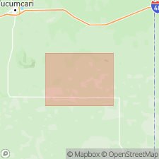
Type exposure: Type exposure: Sand Canyon, a dissected depression containing the San Jon site, which is approximately 10 mi south of town of San Jon, Quay Co., eastern NM. Occurs in broad channels cut into underlying formations 40 to 50 feet above grade of modern arroyos.
Source: US geologic names lexicon (USGS Bull. 1200, p. 3432).
For more information, please contact Nancy Stamm, Geologic Names Committee Secretary.
Asterisk (*) indicates published by U.S. Geological Survey authors.
"No current usage" (†) implies that a name has been abandoned or has fallen into disuse. Former usage and, if known, replacement name given in parentheses ( ).
Slash (/) indicates name conflicts with nomenclatural guidelines (CSN, 1933; ACSN, 1961, 1970; NACSN, 1983, 2005, 2021). May be explained within brackets ([ ]).