- Usage in publication:
-
- San Ysidro member*
- Modifications:
-
- Named
- Dominant lithology:
-
- Sandstone
- AAPG geologic province:
-
- San Juan basin
Summary:
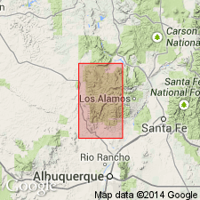
Named as the upper member of the Yeso formation. Type section designated in sec 3, T16N, R2E, near Canon and area to north in Canon de San Diego grant, Sandoval Co, NM in the San Juan basin. Source of geographic name not stated. Mapped in southeast part of map area. Geologic map; cross sections. Overlies the newly named Meseta Blanca member of Yeso. Underlies Permian Glorieta sandstone member of San Andres Formation. Intertongues with Meseta Blanca between San Miguel Canyon and Senorito Canyon, Sandoval Co. Consists of thin- to medium-bedded, light-orange-red to dark-red sandstone with a few thin limestone beds. Ranges from 0 to 160 ft thick. Assigned a Permian age.
Source: GNU records (USGS DDS-6; Denver GNULEX).
For more information, please contact Nancy Stamm, Geologic Names Committee Secretary.
Asterisk (*) indicates published by U.S. Geological Survey authors.
"No current usage" (†) implies that a name has been abandoned or has fallen into disuse. Former usage and, if known, replacement name given in parentheses ( ).
Slash (/) indicates name conflicts with nomenclatural guidelines (CSN, 1933; ACSN, 1961, 1970; NACSN, 1983, 2005, 2021). May be explained within brackets ([ ]).

