- Usage in publication:
-
- San Pablo formation
- Modifications:
-
- Named
- Biostratigraphic dating
- Dominant lithology:
-
- Sandstone
- Tuff
- Ash
- AAPG geologic province:
-
- California Coast Ranges province
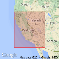
Summary:
San Pablo formation occurs on south shore of San Pablo Bay. Is series of marine sandstones with tuffs and ashes prominent in upper portion. Is nearly 1500 feet thick. Characterized by abundant ASTRODAPSIS and SCUTELLA (CLYPEASTER) GABBI [sea urchins]. At San Pablo Bay beds form wide syncline, northern limb of which rests on upper portion of Contra Costa County Miocene with no distinct unconformity. Age is considered Miocene, probably middle Neocene.
Source: GNU records (USGS DDS-6; Menlo GNULEX).
- Usage in publication:
-
- San Pablo formation*
- Modifications:
-
- Adopted
- AAPG geologic province:
-
- California Coast Ranges province
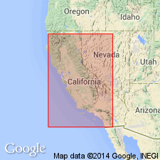
Summary:
San Pablo formation of Merriam (1898) is adopted. Type locality designated on south side of San Pablo Bay near Union Oil refinery [and town of Rodeo], Contra Costa Co, CA. At type consists of sandstones, tuffs, and ashes approximately 1500 to 2000 ft thick. Apparently conformably overlies Contra Costa County Miocene. Equivalents [in sense units contain ASTRODAPSIS and SCUTELLA (CLYPEASTER) GABBI echinoderms] of San Pablo formation unconformably overlie Monterey shale in Salinas Valley (= Santa Margarita formation) and in many other places. Extensive list of late Miocene fossils (echinoderms, pelecypods, and gastropods) included.
Source: GNU records (USGS DDS-6; Menlo GNULEX).
- Usage in publication:
-
- San Pablo group*
Trask, P.D., 1922, The Briones formation of middle California: University of California, Bulletin of the Department of Geology, v. 13, no. 5, p. 133-174.
Summary:
Pg. 133-147. San Pablo group. Briones sandstone was transferred from Monterey group to San Pablo group by Bruce Clark in 1921. It should probably be classified with San Pablo group (upper Miocene) instead of with Monterey group (lower and middle Miocene).
Source: US geologic names lexicon (USGS Bull. 896, p. 1917).
- Usage in publication:
-
- San Pablo group
- Modifications:
-
- Revised
- AAPG geologic province:
-
- Northern Coast Range province
- Sacramento basin
Clark, B.L., and Woodford, A.O., 1927, The geology and paleontology of the type section of the Meganos formation (lower middle Eocene) of California: University of California, Bulletin of the Department of Geology, v. 17, no. 2, p. 63-142, (incl. geologic map)
Summary:
Pg. 65-81. San Pablo group. Divided the San Pablo group into Nerola formation [Neroly formation] above and Cierbo formation below, but did not define the formations.
Source: US geologic names lexicon (USGS Bull. 896, p. 1917).
- Usage in publication:
-
- San Pablo group*
- Modifications:
-
- Adopted
- AAPG geologic province:
-
- Northern Coast Range province
- Sacramento basin
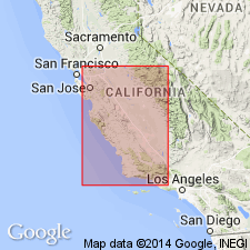
Summary:
Pg. 751-770. San Pablo group. San Pablo group (upper Miocene) is several thousand feet thick in San Francisco Bay region. Includes (descending) Neroly formation (ASTRODAPSIS TUMIDUS zone), Cierbo formation (SCUTELLA GABBI zone), and Briones formation (locally known as ASTRODAPSIS BREWERIANUS zone). The Briones was formerly included in Monterey group, but Parker Trask (1922) showed that stratigraphicallyand faunally it is more closely related to overlying San Pablo group. [This is present (ca. 1936) approved definition of the USGS.]
Source: US geologic names lexicon (USGS Bull. 896, p. 1917).
- Usage in publication:
-
- San Pablo Group*
- Modifications:
-
- Revised
- AAPG geologic province:
-
- Northern Coast Range province
- Sacramento basin
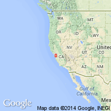
Summary:
San Pablo Group in Contra Costa, Alameda, and Santa Clara Cos includes (ascending); Briones, Cierbo, and Neroly Sandstones, all of late Miocene age.
Source: GNU records (USGS DDS-6; Menlo GNULEX).
- Usage in publication:
-
- San Pablo Group*
- Modifications:
-
- Areal extent
- AAPG geologic province:
-
- Northern Coast Range province
Summary:
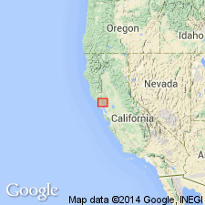
San Pablo Group and its three sandstone formations recognized in southeast Sonoma Co, CA. Age given as late Miocene.
Source: GNU records (USGS DDS-6; Menlo GNULEX).
- Usage in publication:
-
- San Pablo Formation*
- Modifications:
-
- Areal extent
- AAPG geologic province:
-
- California Coast Ranges province
Summary:
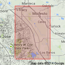
San Pablo Formation of Anderson and Pack (1915, USGS Bull. 603) is here geographically restricted from the area south of Hospital Creek on east flank of Diablo Range. Its rocks are here reassigned to Poverty Flat Sandstone (new) of late middle and late Eocene age, Valley Springs Formation of late Oligocene and early Miocene age, and Neroly Sandstone of late Miocene age.
Source: GNU records (USGS DDS-6; Menlo GNULEX).
For more information, please contact Nancy Stamm, Geologic Names Committee Secretary.
Asterisk (*) indicates published by U.S. Geological Survey authors.
"No current usage" (†) implies that a name has been abandoned or has fallen into disuse. Former usage and, if known, replacement name given in parentheses ( ).
Slash (/) indicates name conflicts with nomenclatural guidelines (CSN, 1933; ACSN, 1961, 1970; NACSN, 1983, 2005, 2021). May be explained within brackets ([ ]).

