- Usage in publication:
-
- Sams Creek metabasalt*
- Modifications:
-
- Named
- Dominant lithology:
-
- Metabasalt
- AAPG geologic province:
-
- Piedmont-Blue Ridge province
Summary:
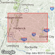
Named the Sams Creek metabasalt for village of Sams Creek on Frederick-Carroll Co. line, western MD. Consists of grayish-green schistose to massive rock spotted with light-green, white, or pinkish knots, which are amygdules filled with quartz, calcite or green epidote. All gradations occur from a massive amygdular rock with inconspicuous schistosity through a schistose variety in which the amygdules are drawn out into elliptical form to fissile slate without recognizable volcanic characteristics in which amygdules are represented by flattened blebs or stringers. Crops out in linear belt which extends southwestward from MD-PA line in vicinity of Lineboro to a point one mile northeast of Taylorsville; belt lies one mile north of Manchester and passes through Westminster. In this belt, the metabasalt overlies Wakefield marble and underlies albite-chlorite schist of the Wissahickon formation. West and southwest of linear belt, unit has a curvilinear strike which is common to the Wakefield, is repeated several times across the strike and is overlain by the Ijamsville phyllite; from New London southward to New Market and Monrovia, it is overlain by Urbana phyllite; west of Parrsville it is exposed in several narrow upfolds in Marburg schist. The unit was mapped as metabasalt in Glenarm series of geologic map of Frederick Co. (1938) and is listed Precambrian(?).
Source: GNU records (USGS DDS-6; Reston GNULEX).

- Usage in publication:
-
- Sams Creek Formation*
- Modifications:
-
- Age modified
- AAPG geologic province:
-
- Piedmont-Blue Ridge province
Summary:
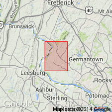
Based on stratigraphic interpretation and correlation with the Catoctin Formation, the age of the Sams Creek Formation is changed to Late Proterozoic and Early Cambrian. Consists of dark greenish-gray to medium bluish-gray, porphyritic to gabbroic greenstone and light bluish-gray, dusky yellow, and moderate orange pink muscovite-quartz-chlorite phyllite and metasiltstone.
Source: GNU records (USGS DDS-6; Reston GNULEX).
For more information, please contact Nancy Stamm, Geologic Names Committee Secretary.
Asterisk (*) indicates published by U.S. Geological Survey authors.
"No current usage" (†) implies that a name has been abandoned or has fallen into disuse. Former usage and, if known, replacement name given in parentheses ( ).
Slash (/) indicates name conflicts with nomenclatural guidelines (CSN, 1933; ACSN, 1961, 1970; NACSN, 1983, 2005, 2021). May be explained within brackets ([ ]).

