The National Geologic Map Database is migrating to a new infrastructure. We apologize for any service disruptions during this process.
|
|---|


- Usage in publication:
-
- Salt Wells Member
- Modifications:
-
- Named
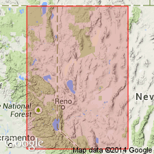
- AAPG geologic province:
-
- Great Basin province
Summary:
Salt Wells Member of the Mono Basin Formation (new) [probably named for the town of Salt Wells] is named for rocks in the Lake Lahontan sequence in NV. Contains two tephra layers regarded a stratigraphic markers, the Walker Lake Bed (new) and Turupah Flat Bed (new), composed of rhyolite that has similar glass chemistry. Source is attributed to Mono basin because of its distribution south of the Carson Sink and because rhyolitic tephra of similar age and petrography was erupted in the Mono basin. Age is Holocene, about 2 to 0.6 ka. (B1565)
Source: GNU records (USGS DDS-6; Menlo GNULEX).
For more information, please contact Nancy Stamm, Geologic Names Committee Secretary.
Asterisk (*) indicates published by U.S. Geological Survey authors.
"No current usage" (†) implies that a name has been abandoned or has fallen into disuse. Former usage and, if known, replacement name given in parentheses ( ).
Slash (/) indicates name conflicts with nomenclatural guidelines (CSN, 1933; ACSN, 1961, 1970; NACSN, 1983, 2005, 2021). May be explained within brackets ([ ]).