- Usage in publication:
-
- Salt Plain measures
- Modifications:
-
- Named
- Dominant lithology:
-
- Shale
- Sandstone
- Salt
- AAPG geologic province:
-
- Sedgwick basin
Summary:
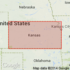
Named as a formation (one of five formations) of the Salt Fork division (new) of the Cimarron series (new). Named for a salt-zone from which is derived the salt of the Salt plain of the Cimarron river. No type locality designated. Occurs in KS on the east slope of the Cedar hills in Harper Co and on the south side of the Salt fork, a few mi below Aetna in Barber Co, Sedgwick basin and in Woods Co, OK. Consists of a zone of rock-salt, red shales, probably with some sandstone, in which "saline impregnations are common." Is 155 ft thick. Lies between Cedar Hills sandstones (new), above, and Harper sandstones (new), below, both of the Salt Fork division of the Cimarron series. Of Permian age.
Source: GNU records (USGS DDS-6; Denver GNULEX).

- Usage in publication:
-
- Salt Plain measures
- Modifications:
-
- Revised
Summary:
Assigned as one of four units to the newly named Norman division. The Norman is present in the Sedgwick basin and on the Chautauqua platform; extent of Salt Plain not discussed. Permian age.
Source: GNU records (USGS DDS-6; Denver GNULEX).
For more information, please contact Nancy Stamm, Geologic Names Committee Secretary.
Asterisk (*) indicates published by U.S. Geological Survey authors.
"No current usage" (†) implies that a name has been abandoned or has fallen into disuse. Former usage and, if known, replacement name given in parentheses ( ).
Slash (/) indicates name conflicts with nomenclatural guidelines (CSN, 1933; ACSN, 1961, 1970; NACSN, 1983, 2005, 2021). May be explained within brackets ([ ]).

