- Usage in publication:
-
- Salt Grass shale member
- Modifications:
-
- Original reference
- Dominant lithology:
-
- Shale
- Bentonite
- AAPG geologic province:
-
- Anadarko basin
Summary:
Salt Grass shale member of Pierre shale. Gray clayey shale, with few thin bentonite beds, medium-sized limestone concretions, many with cone-in-cone structure, and limonite concretionary streaks in abundance. Thickness 60 feet. Lowest zone in many places contains several layers of light-gray to nearly white limestone concretions and in places irregular bodies of limestone in which LUCINA OCCIDENTALIS is very abundant. Overlies Lake Creek shale member of Pierre and lies 600 to 700 feet below top of Pierre shale in Wallace County, northwestern Kansas. Age is Late Cretaceous.
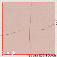
Named from Salt Grass Canyon, the southern tributary of Goose Creek, in secs. 1 and 12, T. 12 S., R. 42 W., [Horsethief Draw 7.5-min quadrangle], Wallace Co., northwestern KS.
Source: US geologic names lexicon (USGS Bull. 896, p. 1896-1897).
For more information, please contact Nancy Stamm, Geologic Names Committee Secretary.
Asterisk (*) indicates published by U.S. Geological Survey authors.
"No current usage" (†) implies that a name has been abandoned or has fallen into disuse. Former usage and, if known, replacement name given in parentheses ( ).
Slash (/) indicates name conflicts with nomenclatural guidelines (CSN, 1933; ACSN, 1961, 1970; NACSN, 1983, 2005, 2021). May be explained within brackets ([ ]).

