- Usage in publication:
-
- Salt Creek conglomerate
- Modifications:
-
- Named
- Dominant lithology:
-
- Conglomerate
- AAPG geologic province:
-
- Sacramento basin
Summary:
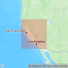
Named in stratigraphic structure sections A, B, and C in southern part of Colusa Co (Ramsey Hills-Capay Valley-Wilbur Springs area), west side of Sacramento Valley, CA. Crops out on hilltop 0.25 mi west of Bear Creek. From here northward can be followed into Wilbur Springs 15' quad. Beds are overturned or vertical. Pebbles in thin persistent bed are reworked from underlying Paskent beds. Thickness ranges from 1250 to 2200 feet. Is stratigraphic marker which indicates possible disconformity or minor unconformity. Underlies Antelope shale. Is conjectural base of Upper Cretaceous.
Source: GNU records (USGS DDS-6; Menlo GNULEX).

- Usage in publication:
-
- Salt Creek Conglomerate Member
- Modifications:
-
- Revised
- AAPG geologic province:
-
- Sacramento basin
Summary:
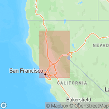
[No reference is made to Salt Creek Conglomerate of Taliaferro (1954) but mapped area of Boxer Formation and its member corresponds to area described in Taliaferro (1954)]. Salt Creek Conglomerate Member is assigned as member in lower 305 to 610 m of Boxer Formation (new). Described as olive-green, thinly bedded to massive conglomerate containing fossils of Albian[!] age. Is about 400 m thick in northern part of mapped area [at 39 deg 45'N], about 1040 m in central part of Wilbur Springs 15' quad, and thins to about 730 m at southern boundary of mapped area [39 deg N]. Overlies Lodoga Formation. Age given as Late Cretaceous.
Source: GNU records (USGS DDS-6; Menlo GNULEX).
For more information, please contact Nancy Stamm, Geologic Names Committee Secretary.
Asterisk (*) indicates published by U.S. Geological Survey authors.
"No current usage" (†) implies that a name has been abandoned or has fallen into disuse. Former usage and, if known, replacement name given in parentheses ( ).
Slash (/) indicates name conflicts with nomenclatural guidelines (CSN, 1933; ACSN, 1961, 1970; NACSN, 1983, 2005, 2021). May be explained within brackets ([ ]).

