- Usage in publication:
-
- Salmon Peak Limestone
- Modifications:
-
- Areal extent
- Mapped 1:250k
- Dominant lithology:
-
- Limestone
- AAPG geologic province:
-
- Permian basin
- Ouachita folded belt
Summary:
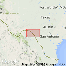
Is Lower Cretaceous formation mapped in southern and southeastern Val Verde and southwestern Edwards Cos, TX (southeastern Permian basin) and in northern Kinney and central-western Uvalde Cos, TX (Ouachita tectonic belt province). Overlies McKnight Formation. Overlain by Del Rio Clay. Map unit described as limestone; upper 75 ft--granular, abundant caprinid and other shell fragments, cross-bedded; lower part--Globigerina mudstone, abundant large chert masses, white; total thickness 310 ft. Is not mapped north of [what appears to be an arbitrary] east-west line that separates unit from the Devils River Limestone. In map explanation, is schematically depicted to be equivalent to Santa Elena Limestone, upper part of Devils River Limestone, and upper part of Segovia Member of Edwards Limestone.
Source: GNU records (USGS DDS-6; Denver GNULEX).

- Usage in publication:
-
- Salmon Peak Limestone
- Modifications:
-
- Areal extent
- Mapped 1:250k
- Dominant lithology:
-
- Limestone
- AAPG geologic province:
-
- Ouachita folded belt
Summary:
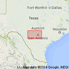
Is Lower Cretaceous formation mapped west of Dry Frio River in west-central and western Uvalde Co, TX (Ouachita tectonic belt province). Is not mapped east of Dry Frio River; Devils River Limestone (Lower Cretaceous) is mapped eastward and north. Is shown correlative with upper part of Devils River Limestone. Map unit described as limestone: upper 75 ft granular, abundant caprinid and other shell fragments, cross-bedded; lower part, Globigerina mudstone, abundant large chert masses, white; total thickness 380 ft.
Source: GNU records (USGS DDS-6; Denver GNULEX).
For more information, please contact Nancy Stamm, Geologic Names Committee Secretary.
Asterisk (*) indicates published by U.S. Geological Survey authors.
"No current usage" (†) implies that a name has been abandoned or has fallen into disuse. Former usage and, if known, replacement name given in parentheses ( ).
Slash (/) indicates name conflicts with nomenclatural guidelines (CSN, 1933; ACSN, 1961, 1970; NACSN, 1983, 2005, 2021). May be explained within brackets ([ ]).

