- Usage in publication:
-
- Saline formation*
- Modifications:
-
- Original reference
- Dominant lithology:
-
- Sandstone
- Clay
- Gravel
- AAPG geologic province:
-
- Ouachita folded belt
Summary:
Pg. 11 (fig. 4), 46-55, pls. Saline formation of Wilcox group. Proposed for section of dark-chocolate-brown laminated clay and silt and interbedded white, tan, orange, and red sand that overlies Berger formation (new) and underlies Detonti sand (new). Thickness 350 feet at type locality; thickness recorded in drillholes 165 to 495 feet. Rests with local unconformity upon the Berger and, in places, unconformably on Wills Point and Kincaid formations and nepheline syenite masses and their included small pendants of metamorphic rocks of Paleozoic age. Age is Eocene.
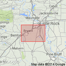
Type locality: road cut immediately north of Benton pumping station, several hundred ft east of northwest corner SW/4 SE/4 sec. 25, T. 2 S., R. 15 W., Saline Co., central AR. Named from Saline River. Crops out in irregular band as much as 9 mi wide that extends in a northeasterly direction across bauxite region and surrounds or covers a part of every nepheline syenite hill. Mapped from east bank of Saline River in Saline Co. to west bank of Fourche Bayou near Sweet Home in Pulaski Co. where formation wedges out beneath Quaternary alluvium of Arkansas River flood plain.
Source: US geologic names lexicon (USGS Bull. 1200, p. 3409).
For more information, please contact Nancy Stamm, Geologic Names Committee Secretary.
Asterisk (*) indicates published by U.S. Geological Survey authors.
"No current usage" (†) implies that a name has been abandoned or has fallen into disuse. Former usage and, if known, replacement name given in parentheses ( ).
Slash (/) indicates name conflicts with nomenclatural guidelines (CSN, 1933; ACSN, 1961, 1970; NACSN, 1983, 2005, 2021). May be explained within brackets ([ ]).

