The National Geologic Map Database is migrating to a new infrastructure. We apologize for any service disruptions during this process.
|
|---|


- Usage in publication:
-
- Salem Point shale member
- Modifications:
-
- Original reference
- Dominant lithology:
-
- Shale
- AAPG geologic province:
-
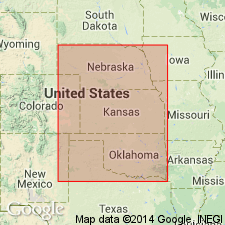
- Nemaha anticline
- Salina basin
- Forest City basin
- Cherokee basin
- Chautauqua platform
Summary:
Salem Point shale member of Grenola formation. The newly established Grenola formation is divided into following members (descending): Neva limestone, Salem Point shale, Burr limestone, Legion shale, and Sallyards limestone. The Salem Point member consists of gray shale, with a thin sandy-limy layer at Roca, Nebraska; of gray argillaceous shale with a thin nonfossiliferous sandy zone in southern Nebraska and northern and central Kansas; of gray calcareous and sandy shale thinning to past Hooser, Kansas, and Burbank, Oklahoma, becoming red shale at Fairfax, Ralston, and Pawnee, Oklahoma. It is less organic in origin and therefore less fossiliferous than Legion shale and Sallyards limestone. Thickness 3.5 to 10 feet. Report includes measured sections.
Type locality: the roadcuts at Salem Point, 1.5 mi northwest of Salem, Richardson Co., southeastern NE.
Source: US geologic names lexicon (USGS Bull. 896, p. 1890); supplemental information from GNU records (USGS DDS-6; Denver GNULEX).
For more information, please contact Nancy Stamm, Geologic Names Committee Secretary.
Asterisk (*) indicates published by U.S. Geological Survey authors.
"No current usage" (†) implies that a name has been abandoned or has fallen into disuse. Former usage and, if known, replacement name given in parentheses ( ).
Slash (/) indicates name conflicts with nomenclatural guidelines (CSN, 1933; ACSN, 1961, 1970; NACSN, 1983, 2005, 2021). May be explained within brackets ([ ]).