- Usage in publication:
-
- Sage Hen member
- Modifications:
-
- Named
- Dominant lithology:
-
- Sandstone
- AAPG geologic province:
-
- Williston basin
Summary:
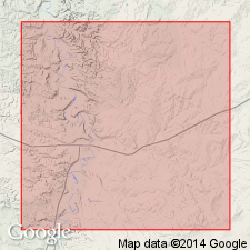
Named as a member of the Colorado shale in the Cat Creek oil field, Fergus [now Petroleum] and Garfield Cos, MT in the Williston basin; named for conspicuous exposures in Sage Hen creek, secs 9 and 16, T14N, R30E, Garfield Co. No type locality designated. Occurs in the central northern part of MT as a distinct, easily recognized datum plane in the exposed part of the Colorado shale formation in region of Musselshell river. Consists of a fine-grained sandstone cemented with lime. When fresh, shows no indication of its sandy character; when weathered, becomes rotten and crumbly. From a composite section table, Sage Hen shown as consisting of (descending order): a limey sandstone, 1 ft thick; concretion zone, 131 ft thick; band of yellow concretions, 2 ft thick; dark shale, 61 ft thick; ironstone zone, 15 ft thick; blue shale, 41 ft thick; brackish sand banded with yellow clay, 4 ft thick; shale with sandy partings, 33 ft thick; soft sandstone, 2 ft thick; and shale with dark sandy partings, 17 ft thick. The Sage Hen lies above the Mosby sandstone member (new) of Colorado shale. Geologic map. Of Late Cretaceous age.
Source: GNU records (USGS DDS-6; Denver GNULEX).
For more information, please contact Nancy Stamm, Geologic Names Committee Secretary.
Asterisk (*) indicates published by U.S. Geological Survey authors.
"No current usage" (†) implies that a name has been abandoned or has fallen into disuse. Former usage and, if known, replacement name given in parentheses ( ).
Slash (/) indicates name conflicts with nomenclatural guidelines (CSN, 1933; ACSN, 1961, 1970; NACSN, 1983, 2005, 2021). May be explained within brackets ([ ]).

