

- Usage in publication:
-
- Sagavanirktok formation*
- Modifications:
-
- Named
- Biostratigraphic dating
- Dominant lithology:
-
- Siltstone
- Sandstone
- Conglomerate
- Lignite
- AAPG geologic province:
-
- Alaska Northern region
Summary:
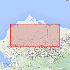
Type locality designated in Franklin Bluffs along lower part of Sagavanirktok River, northern AK. Also well exposed in White Hills area. Consists mainly of red-bed-type poorly consolidated siltstone, sandstone, conglomerate, and lignite. Is structurally conformable with underlying Colville group; no large erosional break indicated. Unconformably underlies Gubik formation. Contains early Tertiary flora.
Source: GNU records (USGS DDS-6; Menlo GNULEX).
- Usage in publication:
-
- Sagavanirktok Formation*
- Modifications:
-
- Revised
- Biostratigraphic dating
- AAPG geologic province:
-
- Alaska Northern region
Summary:
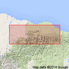
Includes all beds above top of Prince Creek Formation (of Late Cretaceous age) and below Gubik Formation (of Pleistocene age). Divided into (ascending): Sagwon (new), Franklin Bluffs (new), and Nuwok Members [formerly Nuwok Formation of Dall (1919)]. Age is Paleocene to Pliocene based on flora and microfauna.
Source: GNU records (USGS DDS-6; Menlo GNULEX).
- Usage in publication:
-
- Sagavanirktok Formation*
- Modifications:
-
- Age modified
- Revised
- AAPG geologic province:
-
- Alaska Northern region
Summary:
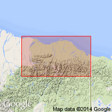
Age ranges from Late Cretaceous (locally at Prudhoe Bay and in area to southwest) to Pliocene because of progradational pattern of deposition. Micropaleontologic data from wells and outcrops in uppermost part of unit on north flank of Marsh Creek anticline indicate that this part of unit is late Eocene to Pliocene in and adjacent to northwestern coastal plain of ANWR; unit is older to west (into Late Cretaceous at Prudhoe Bay and areas to southwest). Regional cross section shows age of unit ranges into Paleocene elsewhere in ANWR and in Kavik area (Kavik field --where it is only Paleocene in age). Tongue of Sagavanirktok Formation is here-named Staines Tongue after Staines River 8 mi east of West Staines State-2 well in sec.25 T9N R22E [Flaxman Island quad] where type section of tongue is designated between 7710 and 8590 ft in subsurface.
Source: GNU records (USGS DDS-6; Menlo GNULEX).
- Usage in publication:
-
- Sagavanirktok Formation*
- Modifications:
-
- Revised
- Age modified
- AAPG geologic province:
-
- Alaska Northern region
Summary:
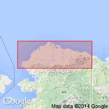
Pg. 4 (fig. 3), 5 (fig. 4), 6-8 (table 1), 34-47. Sagavanirktok Formation. Consists mostly of poorly consolidated siltstone, sandstone, and conglomerate; contains lignite and coal. [Total thickness unknown, possibly 8,500+ feet.] Includes (ascending): (1) Sagwon Member, revised, upper Paleocene; (2) White Hills Member, new, upper Paleocene(?) to lower Eocene; (3) Franklin Bluffs Member, revised, lower Eocene to Miocene; and (4) Nuwok Member, Miocene(?) to Pliocene(?), not exposed in study area. Members are sequences of clastic fluvial sediments grading upward into finer grained sediments. Overlies Prince Creek Formation (revised). Fossils (palynomorphs). Age of Sagavanirktok is considered Tertiary (Paleocene to Pliocene?).
Source: Publication.
For more information, please contact Nancy Stamm, Geologic Names Committee Secretary.
Asterisk (*) indicates published by U.S. Geological Survey authors.
"No current usage" (†) implies that a name has been abandoned or has fallen into disuse. Former usage and, if known, replacement name given in parentheses ( ).
Slash (/) indicates name conflicts with nomenclatural guidelines (CSN, 1933; ACSN, 1961, 1970; NACSN, 1983, 2005, 2021). May be explained within brackets ([ ]).